
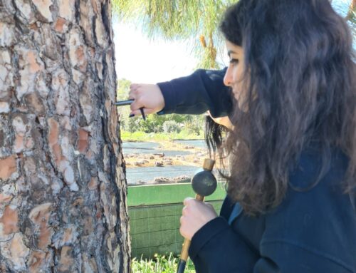
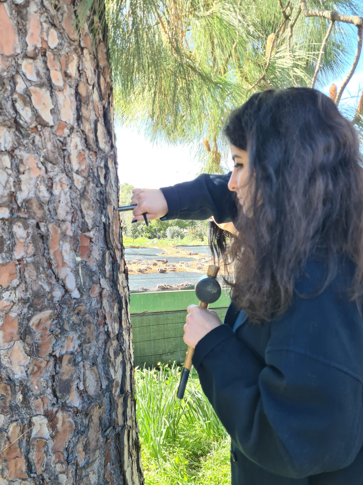
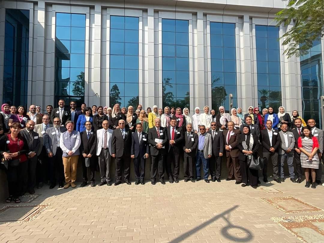
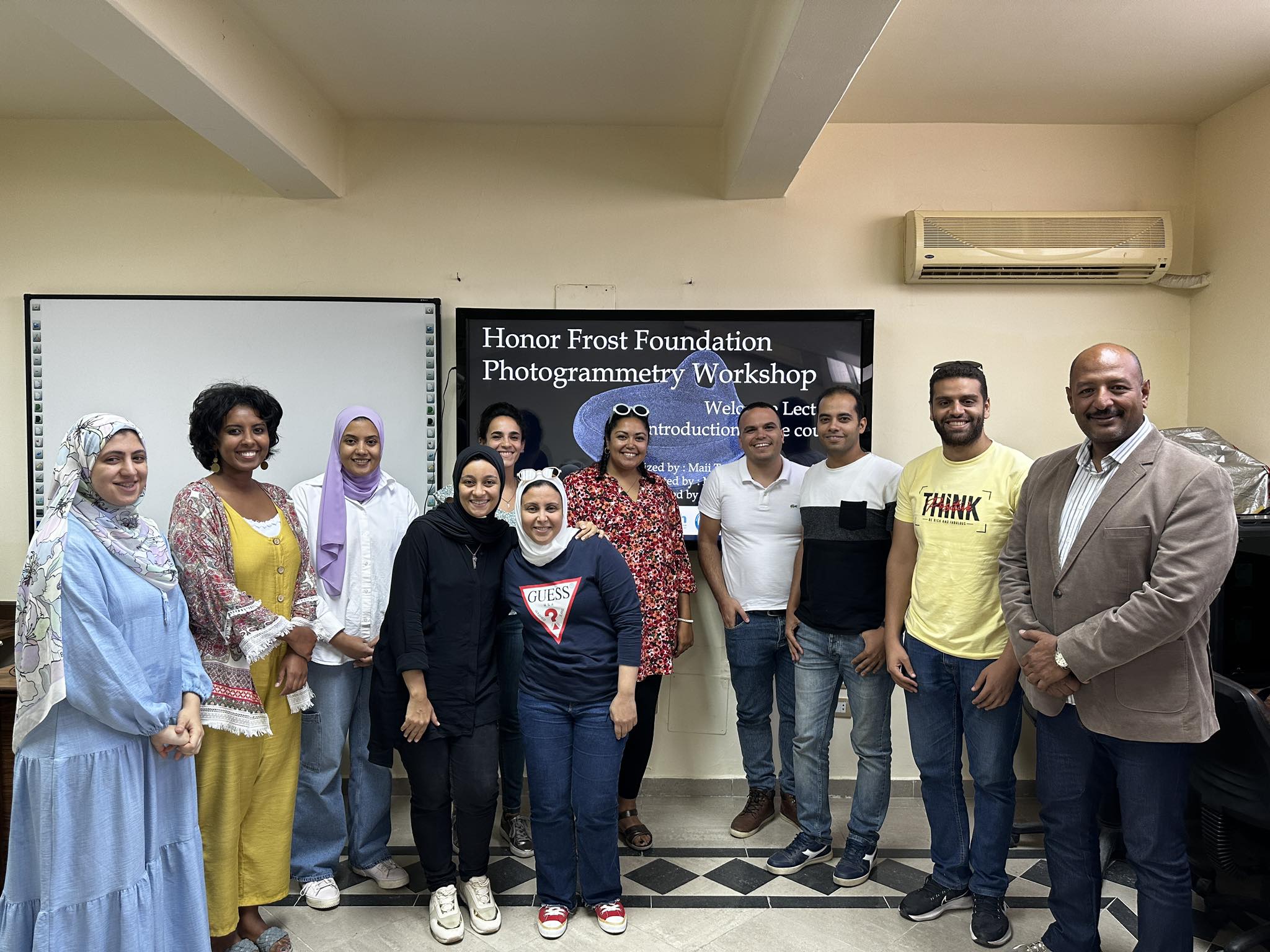
Maria Michael – Training Bursary – Underwater Mapping-Methodology and Geohazards
 HFF Scholar Maria Michael received a Training Bursary to attend an online course on Underwater Mapping, in October 2021, organised by the National University of Athens.
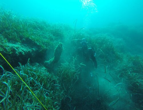
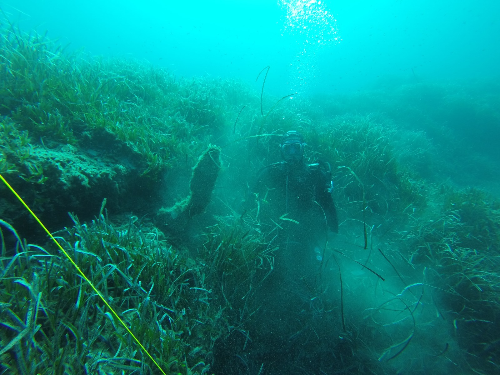
The purpose of the programme “Underwater Mapping – Methodology and Geohazards” was to familiarize students with marine and coastal mapping by using geospatial technologies and processing satellite imagery. During the course, the students had the opportunity to engage with the main concepts of marine environment and acoustics in order to understand the process of collecting and processing bathymetric data. Also, the Geographic Information Systems (GIS) and space technologies were used to enable the simultaneous analysis and interpretation of data from the natural and man-made environment. Consequently, students had the opportunity to develop professional skills for the recording, processing/analysis, interpretation, and display of bathymetric and coastal data from various sources.
‘This course has enhanced my knowledge of underwater and coastal mapping by using geospatial technologies, and the processing of satellite images. I got a basic knowledge of the available equipment (e.g. sonar, echo-sounders, multibeam systems, etc.), which can be used in bathymetric surveys, and I learned the methods of collecting and editing bathymetric data and satellite images. Emphasis is placed on the concepts of hydrography, acoustic, and optical bathymetry. I got familiar with the applications and programs, such as GIS, that I can use to analyse, interpret and display information from underwater archaeological sites. Finally, this course gave me the opportunity to acquire an interdisciplinary approach to recording, analysing, and interpreting bathymetric and coastal data, because I had the opportunity to collaborate with topographers, geologists, environmental engineers, and other archaeologists’. Maria Michael.
Maria Michael – Training Bursary.
Related Posts

