
Cyprus Regional Development Project

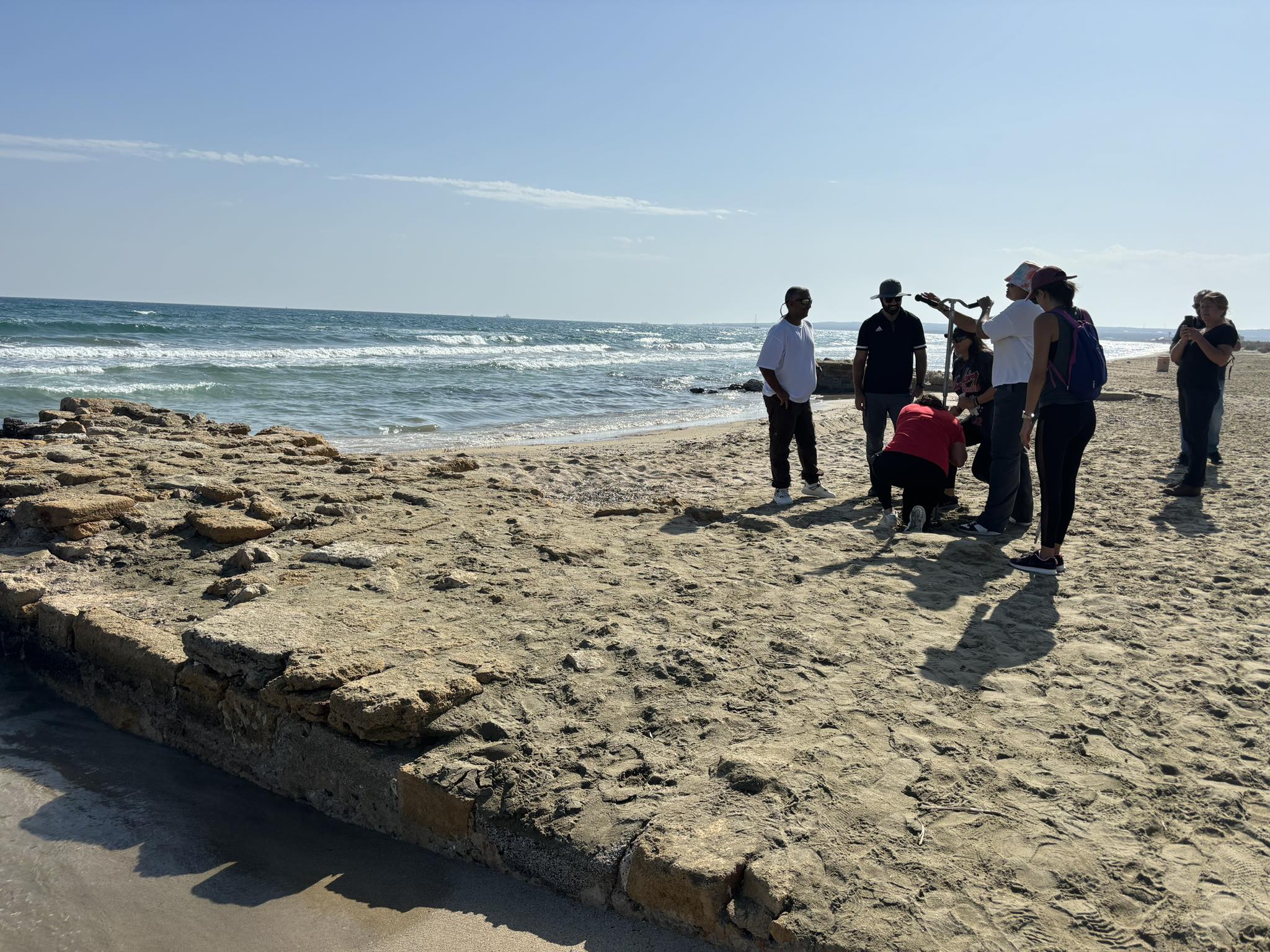
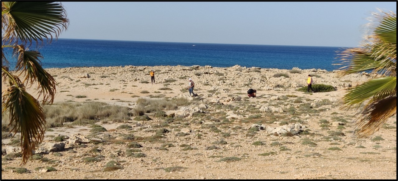
View of the survey conducted in the Ammos tou Kambouri area (Photo by Dr. Maria Michael).
With support from the Honor Frost Foundation (HFF), the Cyprus Regional Development Project (CRDP) aims to enhance regional capacity and to develop a more informed and integrated model for the protection, research, management, and dissemination of Maritime Cultural Heritage (MCH), to be ultimately deployed on the island of Cyprus and the wider eastern Mediterranean.
This project will adopt a two-phased strategy, but the results of Phase One will mainly determine the objectives and methodological approach of Phase Two. Consequently, Phase One, which will last for 14 months (October 2022-December 2023) aims:
- To undertake, with the permission of the Department of Antiquities, a comprehensive integrated assessment of MCH in the region of Protaras Bay, Cape Greco Marine Protected Area (MPA), and Ayia Napa region in the SE of the island.
- To create a comprehensive GIS-based database, which will consolidate all digital data.
- To deliver a series of workshops and training events to enhance regional capacity development leading to a broader regional skill base.
The overall project management will be undertaken by HFF with the support of Dr. Maria Michael in Cyprus. Local, regional, and international partners will also collaborate to achieve the aims of this project. Project partners include Cyprus Marine and Maritime Institute (CMMI), Larnaka and the Cyprus University of Technology, and MarEA, Centre for Maritime Archaeology, University of Southampton and the School of Geography & Environmental Science, University of Ulster.
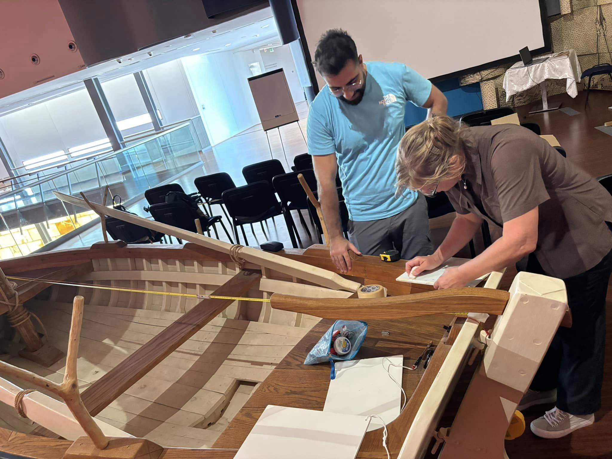
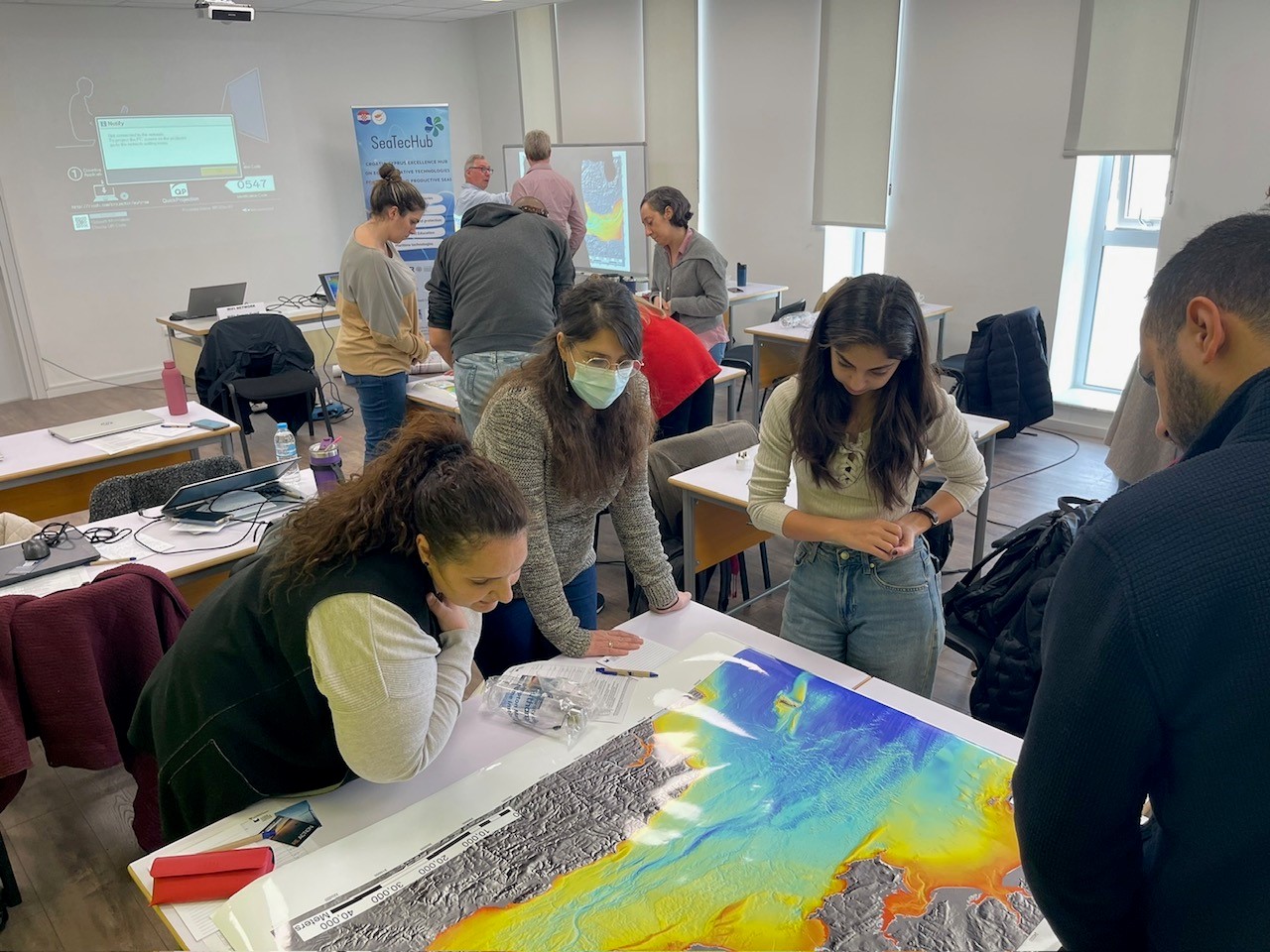
All partners will be involved in delivering training workshops and fieldwork. Skills acquired as part of the training workshops will be deployed in the field. Training workshops include:
- Remote Sensing Applications in Coastal Archaeology
- Database Structure and Remote Sensing Approaches
- Photogrammetry
- Integrated Coastal Survey and Mapping
- Marine Geoarchaeology
- UAV and aerial data capture
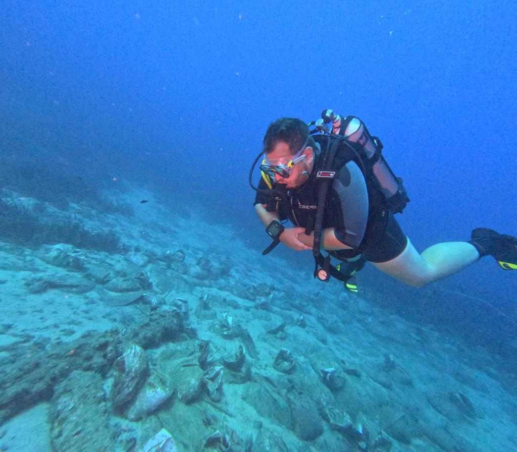
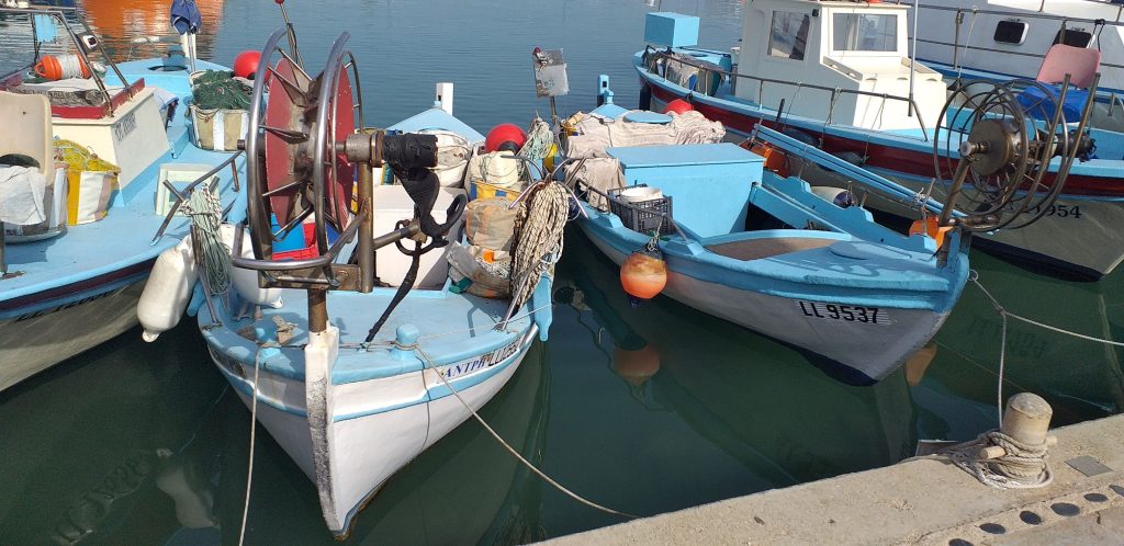
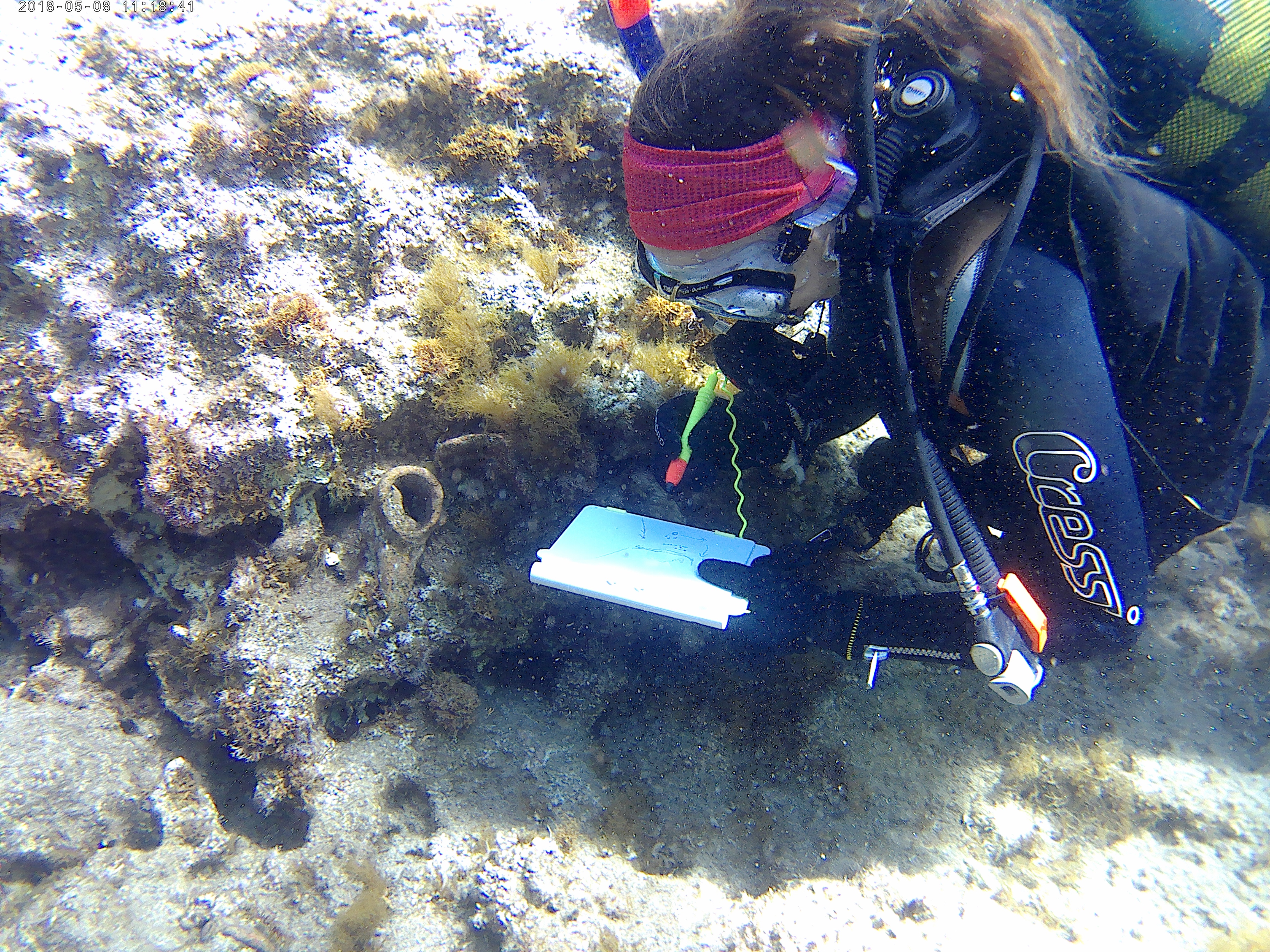
As part of Phase One of the CRDP, and after securing the necessary permissions, a comprehensive coastal and marine survey in the case study area will also be conducted. UAV drone survey will also be undertaken. All the surveys will document in a holistic manner to provide site condition assessment and to address issues of threat. Awareness-raising activities and community engagement programs will also take place.
Find out more about the workshops by clicking on the images below!