
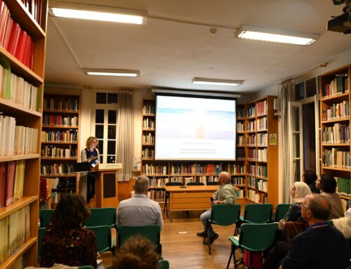
CRDP- UAV and Remote Sensing Workshop and Marine Geoarchaeology Workshop (November 2023)
During November 2023, two workshops were conducted in the regions of Ayia Napa (Famagusta) and Akrotiri Peninsula (Limassol) in Cyprus. Both workshops were part of the Cyprus Regional Development Project (CRDP) funded by the Honor Frost Foundation (HFF). The project is a partnership with colleagues from the Cyprus Marine and Maritime Institute (CMMI), Cyprus University of Technology (CUT), and MarEA project (Universities of Ulster and Southampton, UK) and works closely with other experts in Cyprus, as well as partners from the HFF region (Egypt and Lebanon). Its main aim is to explore the maritime cultural resources of the island of Cyprus and develop an integrated approach to recording archaeology. Also, it aims to organise workshops to build capacity in the HFF eastern Mediterranean region.
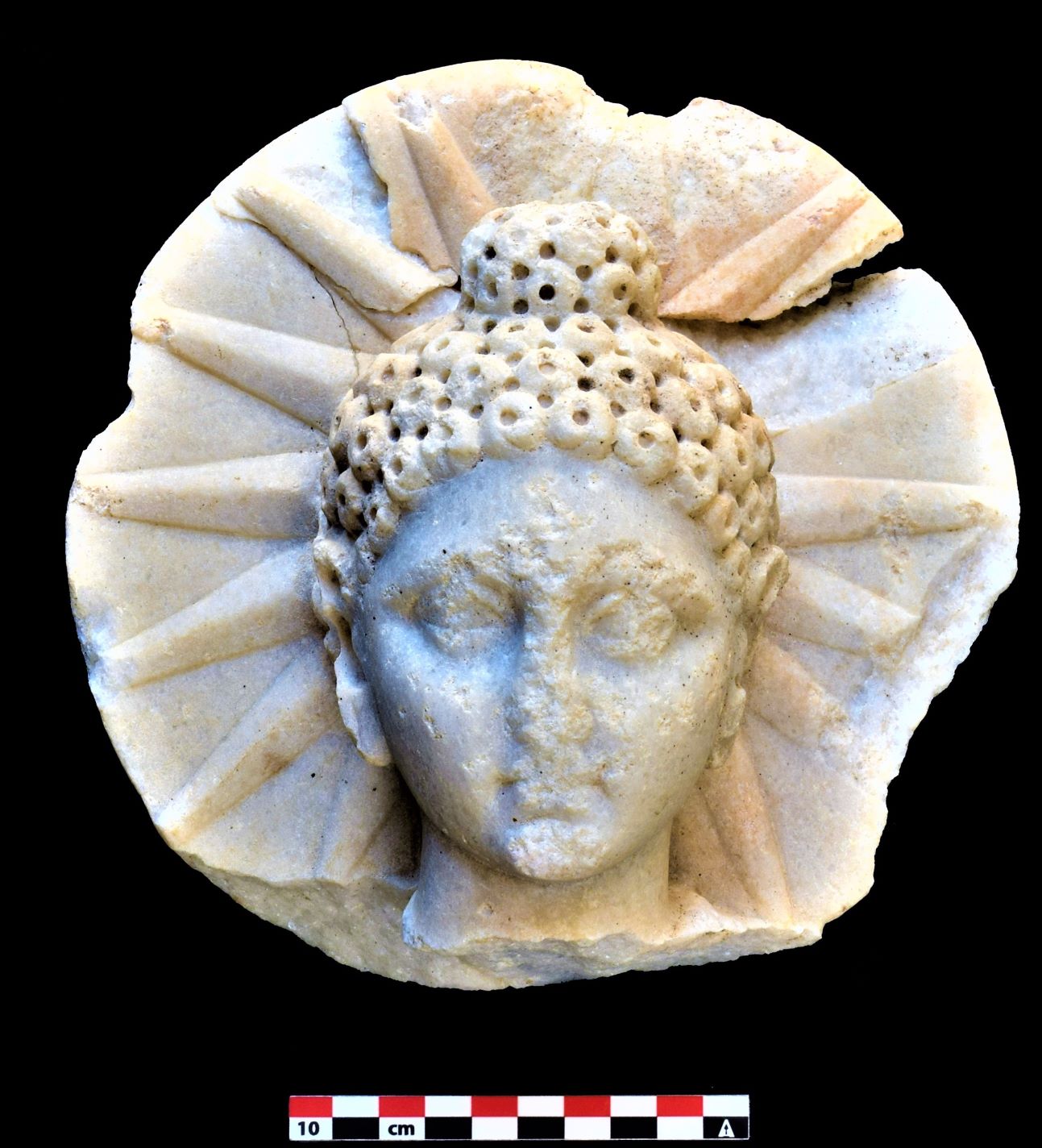
Thus, a UAV and Remote Sensing Workshop was organised and lasted from the 6th to the 10th of November 2023. This workshop was delivered by Dr. D. Skarlatos, Dr. A. Agapiou, and M. Vlachos (Department of Civil Engineering and Geomatics Photogrammetric Vision Lab & Earth Observation Cultural Heritage Lab of the Cyprus University of Technology) with the support of the MarEA project. The three first days were an introduction to the basic principles of aerial photogrammetry, the usage of drones for mapping, flight planning, and aerial triangulation. During this workshop, an aerial (UAV drone) survey was also conducted by using a RGB drone. This survey was held at the archaeological site of Makronissos, Ayia Napa (Famagusta). The last two days of the workshop were an introduction to remote sensing in archaeology. In this workshop, maritime archaeologists, photographers, and marine biologists from Cyprus, Egypt, Greece, and Lebanon took part.
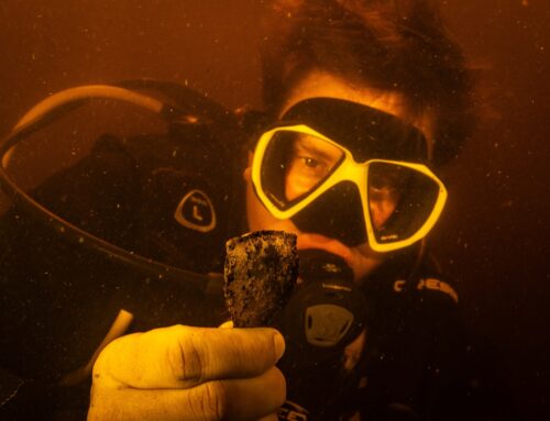
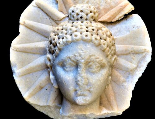
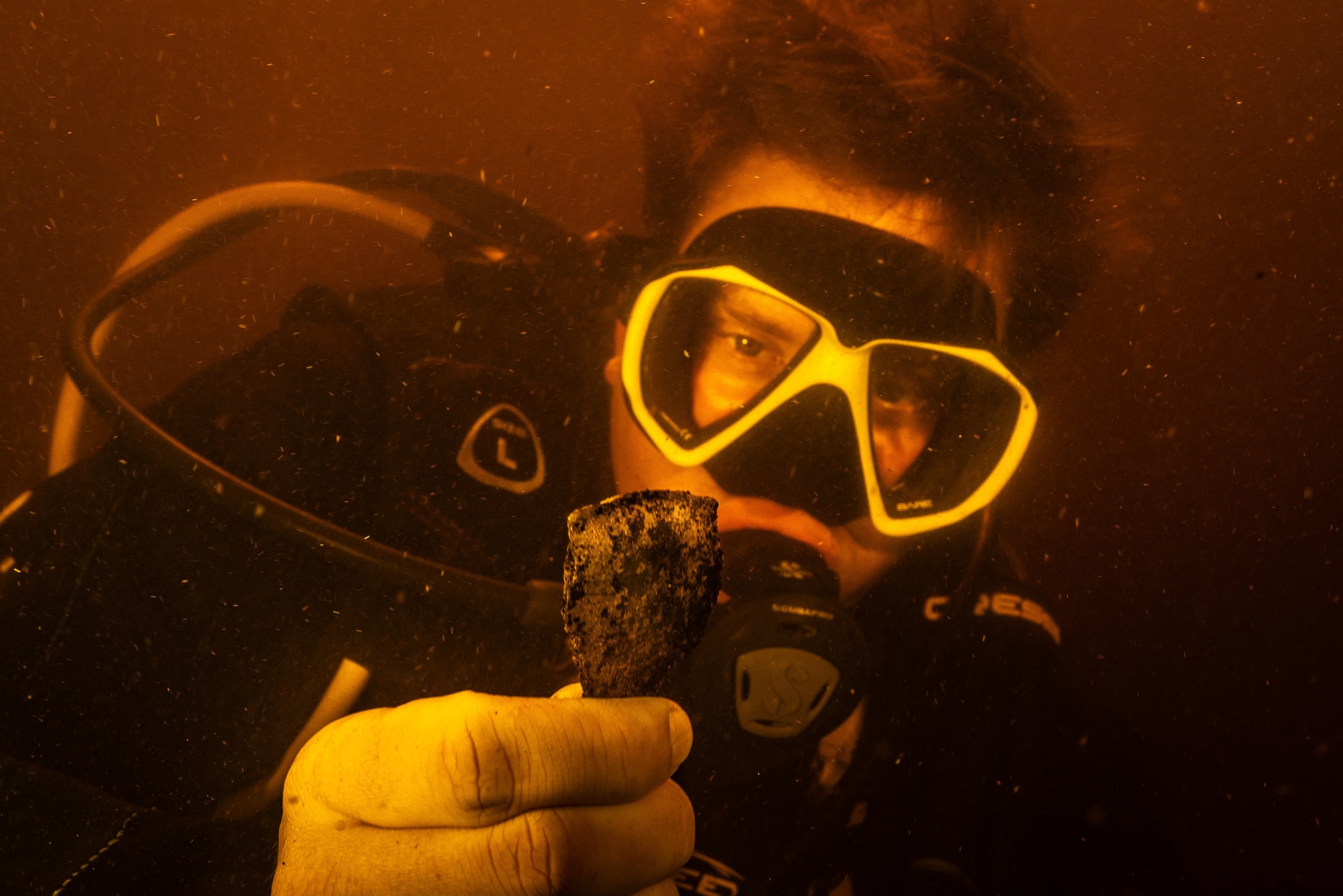
After the UAV and Remote Sensing workshop, a marine geoarchaeology workshop followed and lasted from 11th to 12th November 2023. This workshop was delivered by Professor Apostolos Sarris and Dr. Miltiadis Polidorou (Geo Info Lab Digital Humanities – University of Cyprus). It introduced the aeolian processes, geomorphological sea-level indicators, coastal erosion and erosional landforms, wave-cut platforms, and marine terraces in order to prepare the participants for geoarchaeological surveys. During this workshop, a small-scale geophysical survey by using GPR equipment was also conducted in the areas of the Venetian Canal and Shipwreck at Akrotiri (Limassol). During this survey, shallow cores were taken by using a handheld corer, to examine the stratigraphy, microfauna, and sediment size. Participants included maritime archaeologists and underwater photographers from Cyprus, Egypt, Greece, and Lebanon.


