Elsy El-Khoury- 2023- Ulster University

I hold a bachelor degree in Arts and Archaeology from the Lebanese University, and I am an HFF scholar in Marine sciences and culture program at the American University of Beirut.
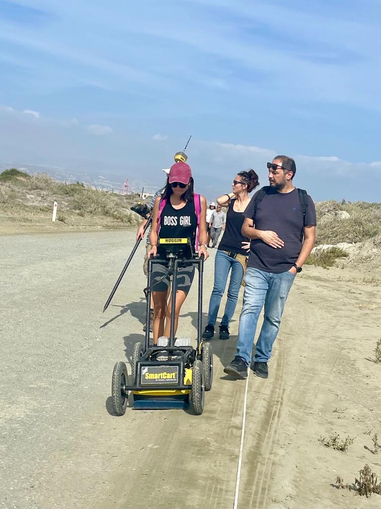
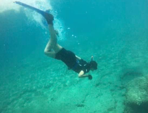
I have acquired extensive experience from being an archaeologist in multiple sites and projects. I participated also in several projects such as Geophysical and Underwater surveys organized by HFF Lebanon. The MSCU program at AUB shaped my vision about Maritime Archaeology, and introduced me to the various disciplines and techniques; and how they come together in discovering, understanding and protecting our cultural heritage and history.
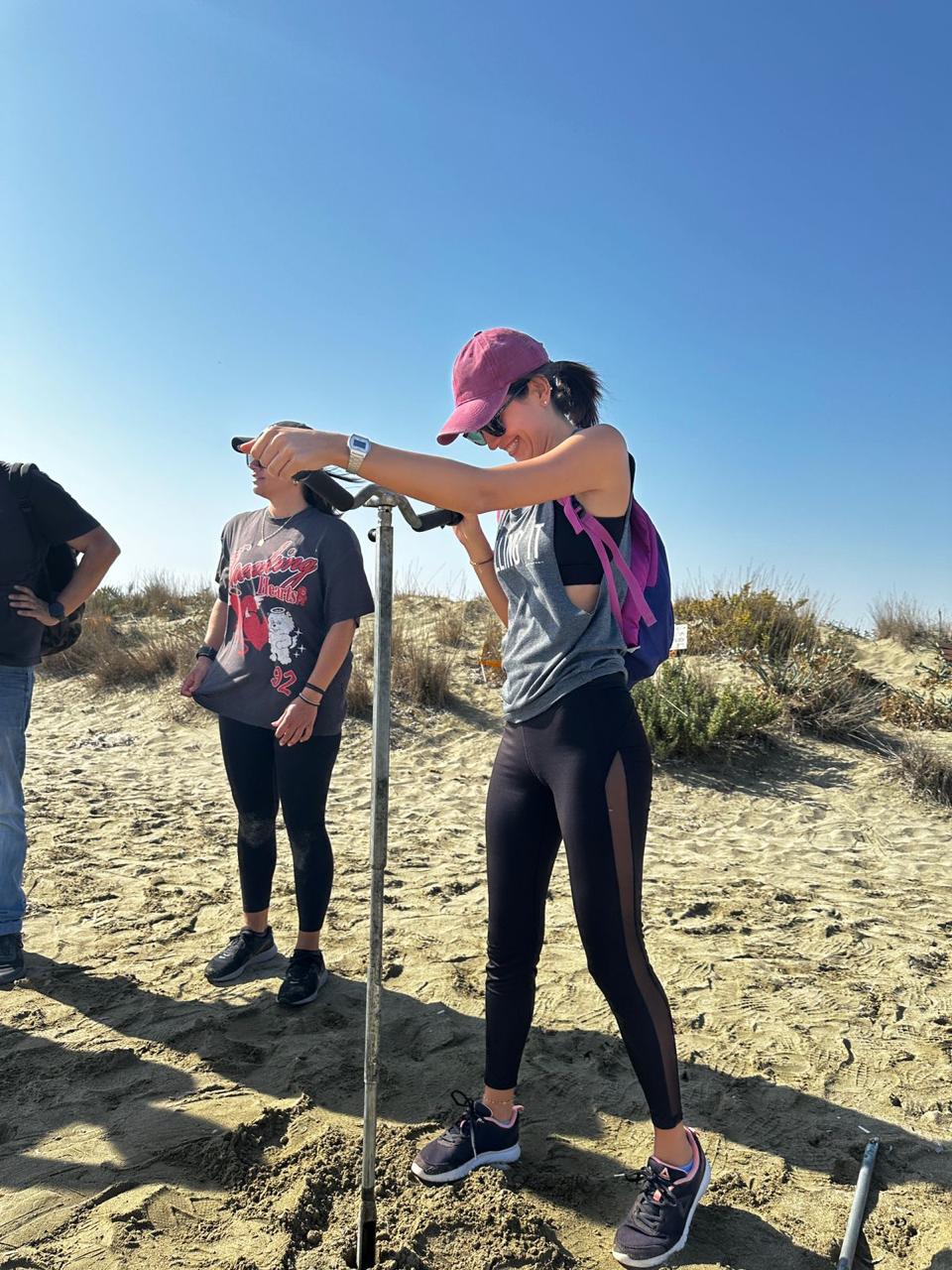
I was inspired to continue my MSc in Remote sensing and GIS after participating in the Integrated coastal survey workshop organized by the HFF in Cyprus, during the training I understood the importance of having a skill in remote sensing and GIS; because it provides a survey of the history and development of the environment either terrestrial or marine, also we can discover, preserve, and manage archaeological sites.
I firmly believe that the scholarship aligns perfectly with my goals and aspiration. I am looking forward to pursue my higher education in Remote sensing and GIS to be able to utilize all of the knowledge and experience gained from this scholarship to make a positive impact within my field and society as a whole.
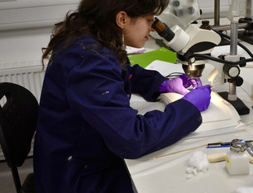
This year, with the generous support of the Honor Frost Foundation, I have progressed in my studies in remote sensing and GIS through the program at Ulster University. The program has enabled me to deepen my technical understanding and practical application of these tools within archaeology.
Through coursework and hands-on training, I’ve developed skills in image analysis and photogrammetry, GIS and remote sensing. This includes my involvement in the 2023 Marine Geophysical Survey season, where I employed remote sensing techniques using side-scan sonar, and multibeam echo sounders to identify and document underwater features. The program has also provided access to new methodologies and networking opportunities within the field, allowing me to stay current with best practices in archaeological research and heritage preservation.
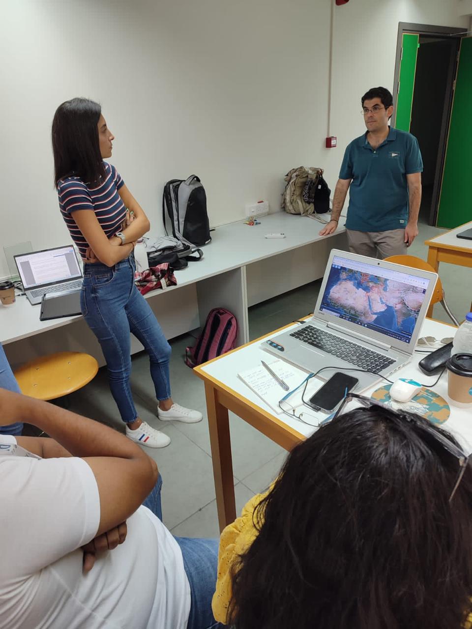
In addition to my coursework, I participated in the “Unmanned Aerial Vehicle and Remote Sensing Workshop and Marine Geoarchaeology workshop ,” organized by the Honor Frost Foundation Cyprus Regional Development Project, where I gained hands-on experience with UAV applications in archaeological survey and documentation.
Next academic year, I plan to deepen my skills in remote sensing, GIS, and archaeology, focusing on using these tools for site preservation and heritage management. My goal is to work on projects that combine remote sensing with archaeological site monitoring, especially in areas where data is hard to access.
I also hope to take more training in high-resolution imaging and data processing, which will help me create detailed maps and analyze archaeological sites more accurately. Additionally, I plan to attend workshops and conferences on GIS, drone use, and mapping in archaeology. These events will keep me updated on new tools and techniques and allow me to connect with others in the field.
