Sirine Saad El-Dine Ghiye – 2021 – Ulster University Scholar.

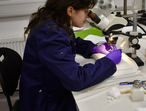
In 2019, I trained with the Endangered Archeology in Middle East and North Africa (EAMENA) project in Beirut, where I learnt the basic of remote sensing and QGIS software. I was taught broad information and skills on the use of QGIS and different types of satellite imagery and maps. In addition, the minor degree was helpful where I received more knowledge of different types of remote sensing on land and underwater. All of these, were the main reasons I chose to study remote sensing and GIS for a masters degree at Ulster University.
Also, because the aim of the Honor Frost Foundation is to protect and raise awareness of maritime archeology, these new technologies for studying and analyzing maritime sites will become the future in protecting and saving our cultural heritage.
The scholarship from the foundation is a step which will change my life to the best and build my capacity in maritime archaeology.
2023 Update
|
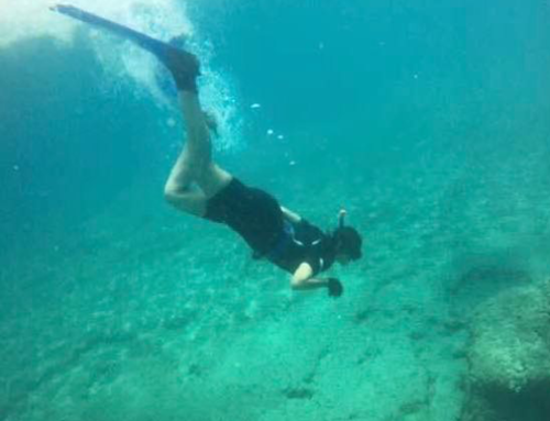
The courses which I enrolled this year helped me to determine my topic to study and to search about, because I learnt the different skills on the use of remote sensing and GI tool to apply on maritime and marine science field. At the beginning of year, I applied on the ASIA Pacific Conference (APConf 5) which will be held in South Korea and it will be in the Next November of 2023. The aim of applying on this conference is to present about the climate change and the effect on the maritime and underwater sites during the session titled under Major Threats to Underwater Cultural Heritage. My paper “Potential Climate Change Threats to underwater cultural heritage” is going to present a case study area from Lebanon “Chekka area”, the study detects the changes on sea surface temperature during the last 30 years. This is achieved through my learning during the module course of active and passive remote sensing where I learn how to measure the sea surface and land temperature by the use of raster function and operation applied on the QGIS. The research paper is going to discuss the consequences of increasing temperatures on seas and oceans and how the decreasing health status of water body will affect the underwater and coastal sites. With always support by the Honor Frost Foundation, in March 2023 I get the opportunity to join in the first building capacity training in maritime archeology organized by the Alexandria university and the Minister of Culture in Jeddah- Saudi Arabia country. The event is about gathered participants from different Arab countries in reason to share ideas and knowledge. The training extends to two weeks, divided into theory sessions and underwater practices. The session was introduced and deep understanding of maritime archeology and coastal sites with many exercises applies on the use of photogrammetry software, QGIS and GPS using. The practice was full underwater survey on a shipwreck site to apply the underwater technique in studying sites by diving, the practice aims to teaching the participants on how to measure, taken photos and description of underwater site. This training was point added on my skills and knowledge, it helps me to learn about the other maritime culture of Arab world, and how to work in team with different colleagues. And because my aims are to be expertise in using marine geophysics tools for studying the seabed, I get the best opportunity supported and funded by the HFF to join in the Straight of Sicily project directed by Dr. Lisa Briggs. The project depends on the use of Autonomous underwater vehicle AUV with side scan sonar. In this training I learn something special and high level on the studying, interpreting and analysis data obtain from the AUV robot. This experience taught me how to live onboard and work, how to be in contact with the member to achieve the goal of AUV mission. I get deep knowledge on the use of Sonarwizz software for treating the data and creating map presenting the underwater archeological and geological potential, and creating the plan mission for the AUV on the Seaplane software. In addition, I learnt on how to treat the equipment itself after mission end, from desalinate, recharge, installing the GoPro camera, and change the frequencies. During this year, I feel more confidence and get high level of education, this is encouraging me to work more and to be more engaged in maritime field. |

 2022-023, second year of enrolling the program of Remote sensing and GIS, I get the diploma which is given me the opportunity to start writing a thesis for the next academic year. During this year, I focus on train my self and increase my knowledge and skills in any subject and topic related to maritime archeology.


