Sidon, Lebanon
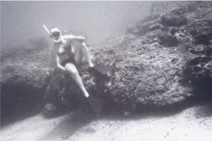
1966-1967 Sidon’s survey (Copyright Honor Frost Archive)
In the 1960’s Honor carried out underwater surveys off the coast of Sidon as development threatened the offshore island harbour, her work was published in 1973 in the IJNA and in the NMN in 2000. Studies of this site is being continued by George Papatheodorou and Eric Gotwalles, with the support of the Foundation, and are undertaking a marine remote sensing survey, the survey is an ongoing research project designed:
- to detect targets (surface and subsurface) of potential archaeological interest,
- to obtain detailed bathymetry of the two ports of Sidon and around the area of Zireh Island,
- to define the sub-bottom stratigraphy of the recent sediment sequence, and
- to define the evolution of the coastline configuration at Sidon over the last 18000 yrs BP based on the mapping of palaeoshorelines features and the seismic stratigraphy of the seafloor.
Click the links below to view the reports from the marine remote sensing survey’s
Sidon in the Late Bronze Age

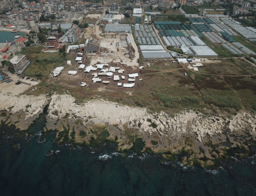
Sidon excavation area and Museum
The ancient city of Sidon is situated on the NW slope of a rocky promontory. It has a natural harbour which was sheltered from the prevailing winds by a rock which is geologically part an offshore reef. The city, located in the heartland of Phoenicia, offers an unprecedented sequence of occupation for the smooth transition between the Late Bronze and the Iron Age thus accounting for the interchangeable use of the terms ‘Canaanite’ and ‘Phoenician’. Significant and recently published evidence from Sidon relating to the chronology of the Early Iron Age has delivered a much clearer picture of Phoenicia as a whole along with the confirmation of Sidon’s important standing in the region at the time. The aim of this project is to further explore the potential of additional evidence and disclosures about the time span between the 14th and the 12th centuries BC in Sidon, and in so doing, contribute to the valuable achievement of a thorough and all-inclusive study of this exceptionally bountiful archaeological site.

