
Climate, Environmental and Cultural Change in the Eastern Mediterranean – Marine Geophysical Survey and Cyber- Archaeology at Tel Dor and Neve Yam, Israel – 2019
Prof. Thomas Levy
The Foundation has supported this initiative as part of a larger project co-directed by Prof. Assaf Yasur-Landau. The marine geophysical survey was co-directed by Prof. Michael Lazar, University of Haifa.
Introduction
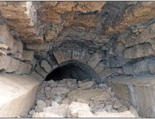
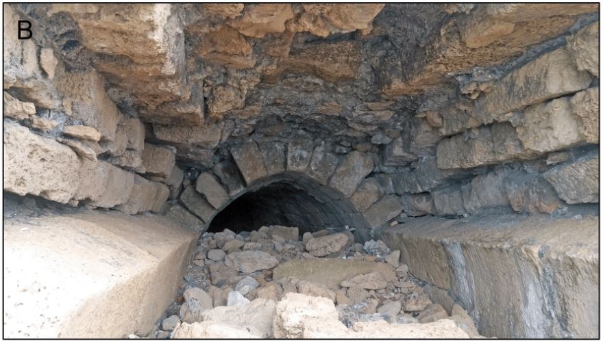
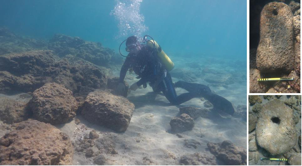
This project focuses on collecting baseline marine geophysical data concerning the ancient bays, anchorages and harbors around Tel Dor and the Neve Yam region along Israel’s Mediterranean coast. A variety of geophysical tools were deployed on a small craft to map the sea floor and its immediate substrate in high resolution to provide maps to contextualize excavation and paleoenvironmental data spanning the Holocene that have been recently collected by our team and other researchers in the past. Of immediate interest is the Bronze (ca. 3600 – 1200 BC) and Iron Ages (ca. 1200 – 500 BC) that witnessed the emergence and collapse of the first urban societies and civilizations in the southern Levant, to the rise and breakdown of the first local historic archaic state/kingdom level societies such as the Phoenician, Israelite, Edomite and other Iron Age polities. The project contributes to the growing number of maritime archaeology projects that envision human settlement sites in both submerged and near-coastal settings as ideal paleo-environmental and cultural archives for studying deep-time climate, environmental and cultural change. This is part of a joint Scripps Center for Marine Archaeology UC San Diego – University of Haifa collaboration. During the summer of 2018, marine and near-coastal sediment cores were extracted in the South Bay of Dor and are now being studied for Holocene paleo-environmental and sea level change data. The bathymetric maps to be produced thanks to the support of the Honor Frost Foundation, will help model environmental change in relation to the core data in very high resolution.
2019 Survey
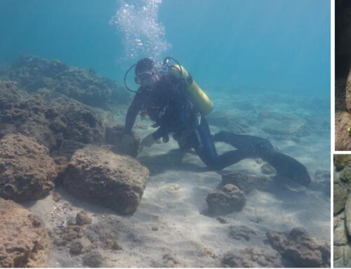
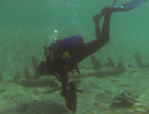
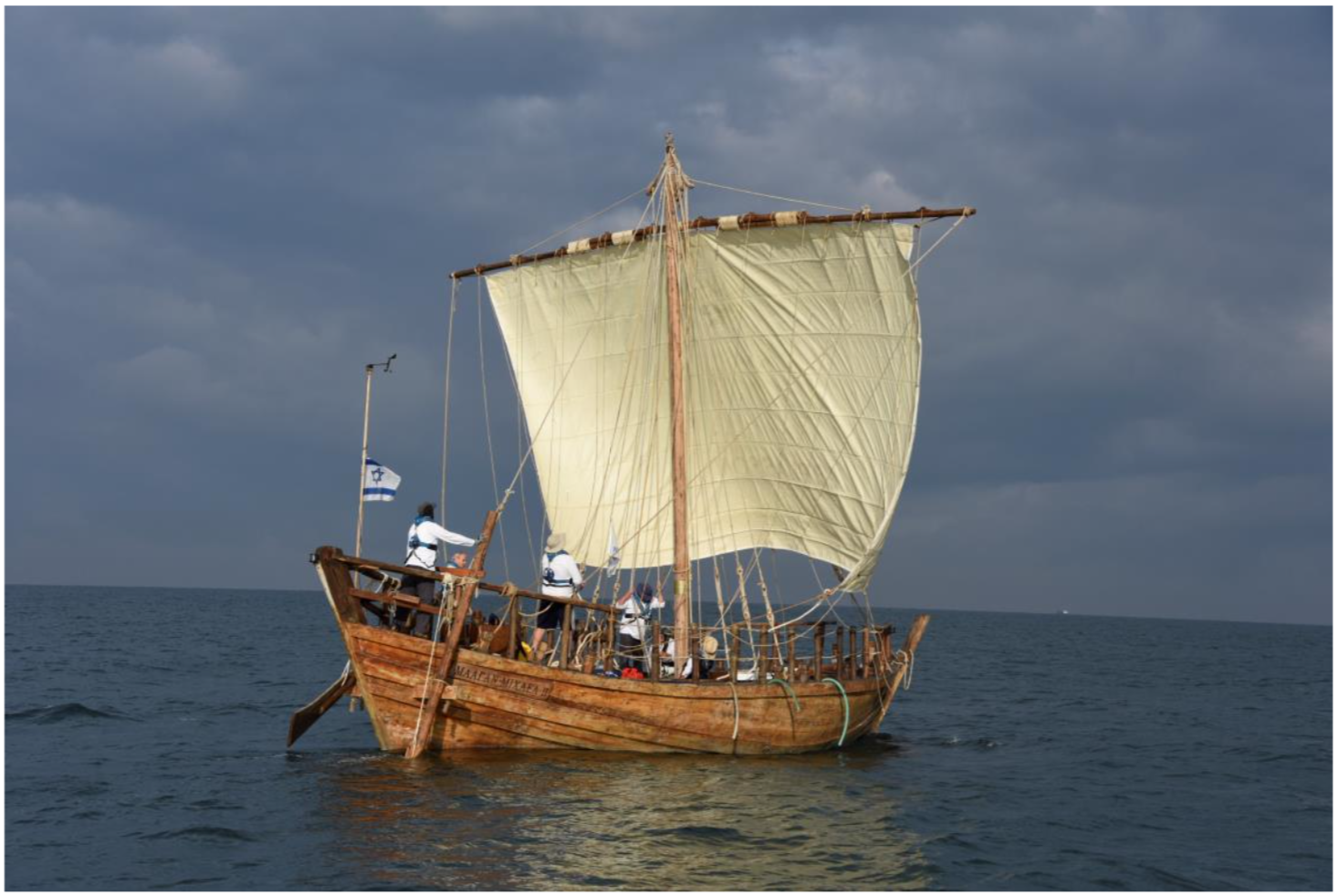
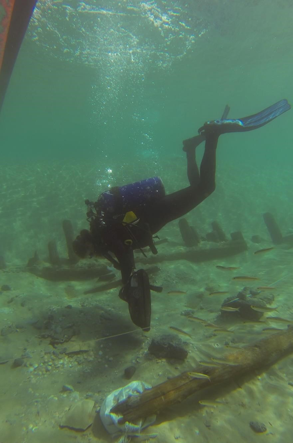
The 2019 February marine geophysical expedition was a joint UC San Diego Scripps Center for Marine Archaeology and Recanati Institute for Maritime Studies University of Haifa project. The Carmel coast, located along the northwest coast of Israel, consists of confined embayments that efficiently trap, due to the subdued flow energies, a continuous sedimentological sequence as well as protect submerged prehistoric settlement remains. These properties provide an opportunity to investigate the geomorphic processes that have occurred from the late Pleistocene to late Holocene. The geophysical research is part of a multi-disciplinary study of the South Bay of Tel Dor that integrates existing soil maps, fifty lithological borehole datasets, as well as new terrestrial geophysical surveys and sediment coring. The February work produced a high-resolution 35 km-long sub-bottom profile and side-scan sonar marine geophysical survey. Based on seismic stratigraphic analysis, observed geometries, and reflective appearances, five bounding surfaces and four seismic units were identified and characterized. We produced a lithostratigraphy for the area changed landscapes spanning the past ~75 ka. The paleogeographic reconstruction presented in this study suggests that the stratigraphy is dominated by low stand aeolian and fluvial terrestrial environments, that were subsequently flooded by early Holocene transgression followed by mid Holocene progradation. A stratigraphic comparison between the south bay of Dor to the shallow adjacent shelf outside of the bay as well as other sites found along the Israeli coast reveal the protective properties of the study area. Based on the identification of this sequence it was possible to classify the environmental factors that shaped the coastal zone of Israel. These include climate influences, a tsunami occurrence, sea level transgressions followed by an aeolian and marine sand deposition. The geophysical results of this study provide a valuable framework for identifying possible locations of prehistoric-historic human made coastal constructions in relation to coastal evolution and shoreline migration through time. If public health conditions allow, the ground truth (scuba observations) will be carried out in October, 2020.
This data will be linked with University of Haifa – UC San Diego maritime archaeology excavations and surveys using a newly developed digital archaeology workflow that includes digital data capture, curation, analyses and dissemination by traditional peer-reviewed publications, but also in 3D and online platforms.

Figure 1. Location maps: (a) South East Mediterranean longshore transport mechanism; marine and terrestrial Paleoclimate proxies, the black square illustrates the location of panel b; (b) Israel’s Carmel coastal plain surface lithologies, stream location and shelf bathymetry. The red and green triangles indicate location of Neolithic habitations while the red square annotates the location of the study area (Galili and Weinstein, 1985; Bailey et al., 2017). The numbered red circles represent previously studied zones in which the stratigraphic sequence was investigated and is described in the following papers according to their numbering: (1) Kadosh et al. (2004); (2) Sivan et al. (2004); (3) Cohen-Seffer et al. (2005); (4) Sivan et al. (2011); (5) Shtienberg et al. (2017); (6) Goodman-Tchernov et al. (2009); (7) Neev et al. (1978). The red dashed square indicates locations of shallow marine geophysical surveys conducted by Shtienberg et al. (2016) and Goff et al. (2018).

Figure 2. Surveying and Sampling location as well as the geomorphological cherectoristis of Dor’s south bay and pocket beach; (a) Aerial photograph comprising of the existing and new drilling locations as well as current study geophysical survey lines; (b) research catamaran used in the study; (c) Modern coastal and seabed elevation surfaces and corresponding bathymetric profile.

Figure 3. Acoustic units identified in a general East-West trending seismic section from Dor (location of section is presented in figure 2a). The dashed square indicate of annotated zoomed in location along the line that are presented in (b, d) while their corresponding interpreted is presented in (c, e); the acoustic units are presented with general description (f).
