Democratising Deep-water Survey: Innovative Low-cost Multi-AUV Survey of Shipwrecks in the Strait of Sicily
Dr. Lisa Briggs & Dr. Peter Campbell
Deep-water archaeology (depths greater than 100m) has been recognised for its potential ever since Frédéric Dumas’ Deep-water Archaeology (1962) and Willard Bascom’s Deep Water, Ancient Ships (1976). The few projects undertaking offshore, deep-water research have provided sensational discoveries of well-preserved shipwrecks, as highlighted by the University of Southampton’s Black Sea MAP and Robert Ballard’s surveys at Skerki Bank and the Black Sea. However, deep-water has been inaccessible to the majority of archaeology and, unfortunately, often accessible to treasure hunters and salvagers with their larger budgets. The recent looting of an Ottoman shipwreck in the waters between Cyprus and Lebanon demonstrates that deep-water wrecksites remain at risk of destruction by private salvage companies intent on profit (Kiliaris, 2022). There remains a vital need for the rapid mapping and recording of deep-water submerged cultural heritage sites in the Mediterranean. Our project uses a fleet of low-cost autonomous underwater vehicles (AUVs) for maritime archaeology, offering a path forward to democratise deep-water archaeology and bringing the depths within the reach of the majority of archaeologists and countries in the Honor Frost Foundation (HFF) region and Global South.
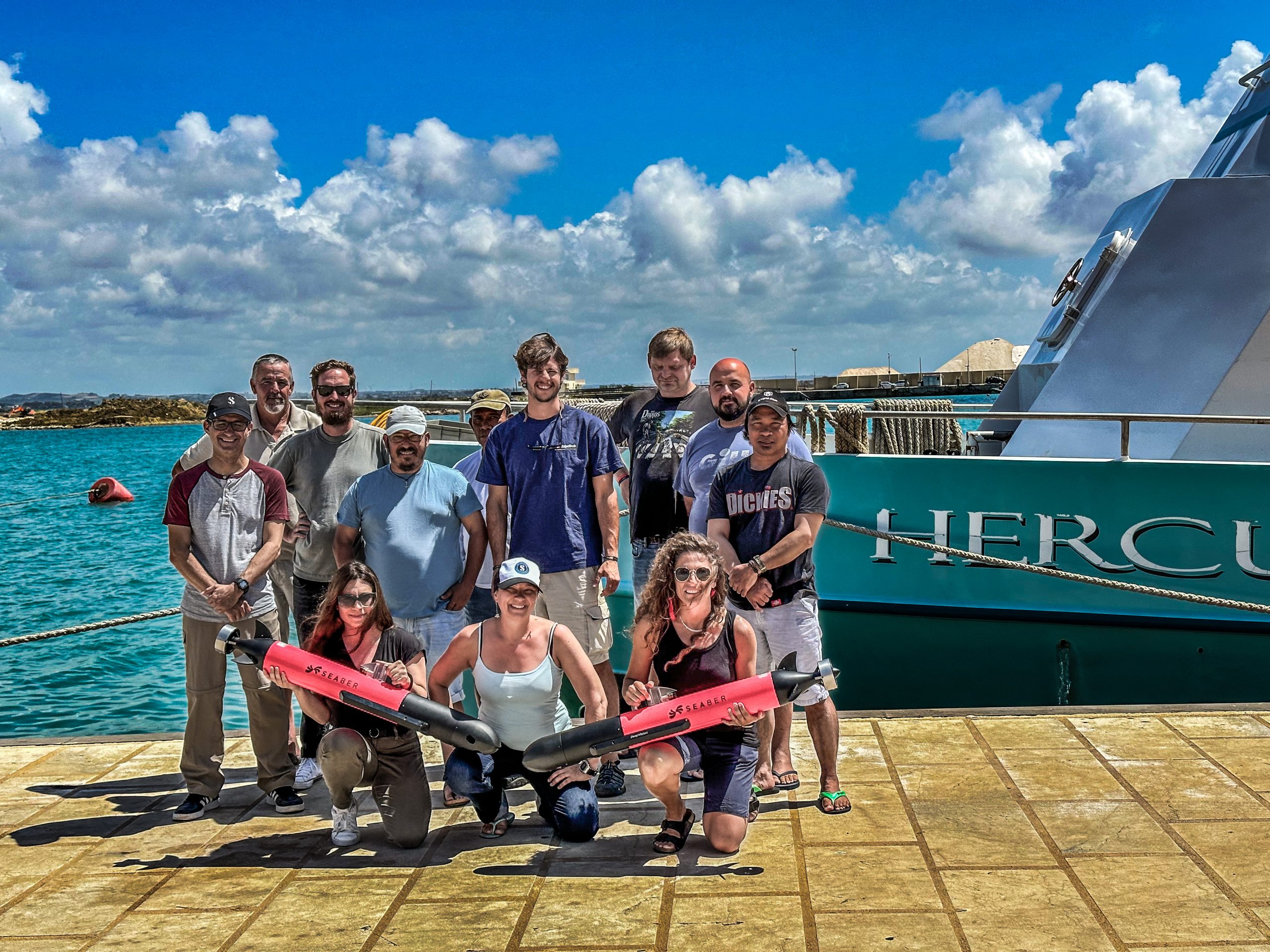
The first season of deep-water survey in the Strait of Sicily (Canale di Sicilia) was held in the summer of 2023. The team deployed three Seaber AUVs with sidescan sonar (200khz and 680khz) and integrated cameras to obtain sonar data and video footage of seafloor features. The Strait of Sicily was an ideal location for a deep-water AUV survey as it has been a vital maritime corridor within the Mediterranean Sea since the Bronze Age. Located between the western coast of Sicily and the promontory of Cape Bon in Tunisia, the Strait of Sicily forms a relatively narrow passage through which all maritime activity in this area of the Mediterranean must pass. Due to the complex underwater topography of the strait, which ranges in depth from over 800 metres to less than 3 metres, this area is prone to swells, storms, and unpredictable seas which caused shipwrecks in every period and was noted as early as the Greek geographer Strabo in the 1st century BCE (Geography 5.2). The team’s fleet of AUVs conducted a systematic survey within an area of approximately 75 square kilometres, a surface area heretofore manageable to maritime archaeology through much longer periods of fieldwork and a budget on a different order of magnitude. The new low-cost AUV survey has mapped significant areas of seafloor in 30 days with a budget suiting a moderate-sized project. The application of the low-cost multi-AUV survey methodology has reduced costs by an order of magnitude while increasing survey speed.
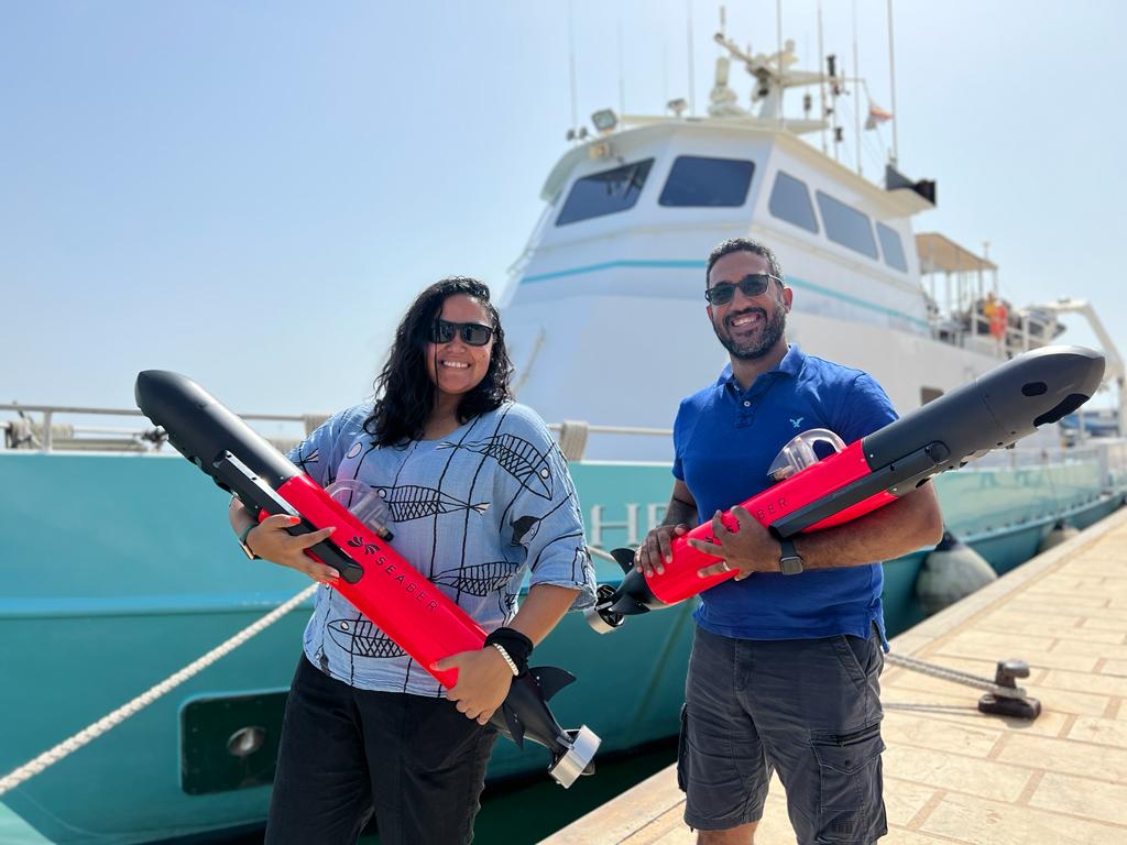
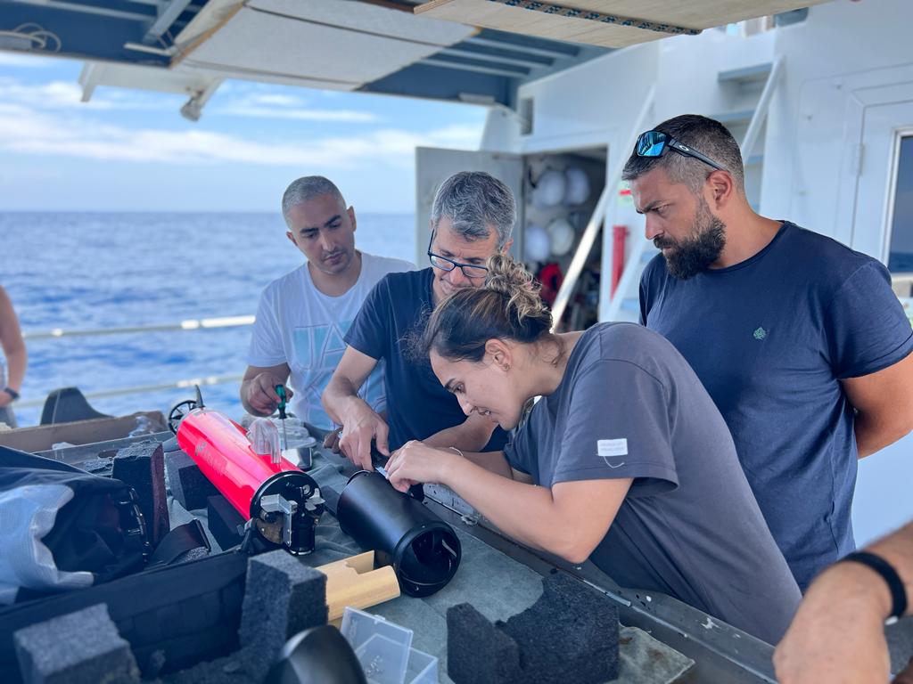
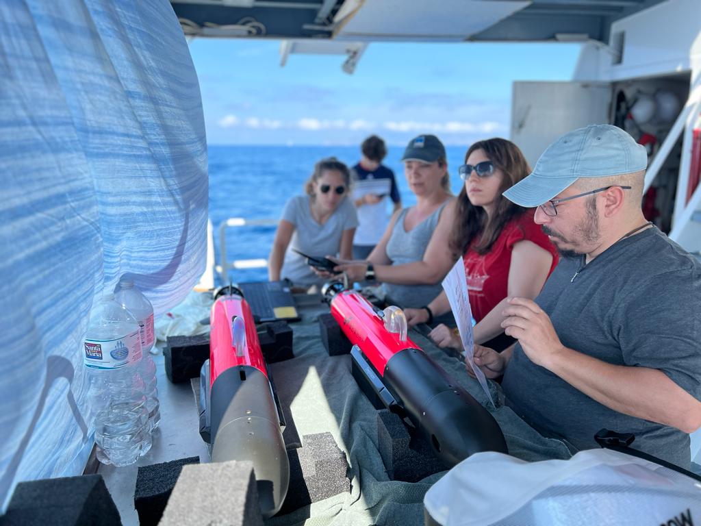
Eight Honor Frost Foundation scholars and associates joined the team during the 2023 field work season in the Strait of Sicily. Scholars were trained in the deployment of Seaber Yuco Scan AUVs, recovery of AUVs from the sea, mission planning, and side-scan sonar data processing. The ease of deployment and recovery of micro-AUVs during this field season has demonstrated that this technology is now accessible to maritime archaeology projects which only have access to small boats without a large crane, or large submersible launching facilities. At just over 11kg in weight, Seaber Yuco Scan AUVs were launched, by hand, by every member of the 2023 team.
The Honor Frost Foundation scholars who joined the 2023 field season contributed new ideas, enthusiasm, energy, and insights to the project. Perhaps most significantly, the scholars augmented the vision of the project by suggesting and discussing new areas in which micro-AUVs could be used, ways in which they could be modified, and how this emerging technology could be used to identify, study, and protect submerged cultural heritage in the Honor Frost Foundation region.

