
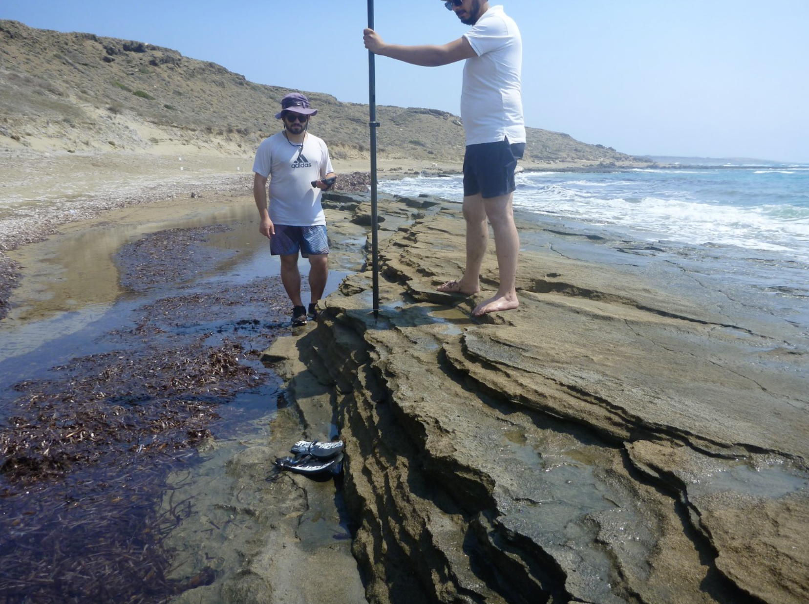
Although a great deal of research has been undertaken with respect to the documentation of beachrock formations around the Mediterranean, beachrocks of the south coastline of Cyprus have only recently been started to be studied in depth (POLIDOROU et al, 2020). In this study, beachrocks of selected sites along the south coastline of Cyprus, will be recorded, collected and analyzed it terms of their composition, cement characteristics and geochronology with optically stimulated luminescence (OSL) technique.
During previous research on the south coastline of Cyprus by the author of this proposal, a series of beachrock formations were identified at Pafos area (near the Pafos airport), at Cape Pyla (Larnaka area) and at Liopetri (Ammochostos area). Also, a detailed study of the beachrocks at Akrotiri Peninsula, Limassol, conducted and published by the author (POLIDOROU et al, 2020) in which with the specific methodology the palaeogeography and the coastline during Upper Holocene (2000 BP – today) was reconstructed. Valuable information and data was also extracted and used for the archeological interpretation of the Dreamers Bay site (JAMES AND SCORE, 2018; L.K.BLUE, 2018). With the combination of data from these four sites (Pafos, Akrotiri, Pyla and Liopetri), it will be possible to produce a detail sea-level curve for the south coastline of Cyprus and investigate the impact of sea-level changes to major coastal archaeological sites such as Amathus, Hala Sultan Tekke, Kition, Dreamers Bay and Paphos Ancient Port. The outcomes of this project will provide valuable information regarding the evolution of the archaeological landscape at coastal sites (mainly harbours), by shedding light on the interaction between people in the past and the sea, but also be determining an initial re-evaluation of some of the important ancient harbour sites in the region by integrating this more detailed level of appreciation of past sea levels. This project will also have application in the wider area of eastern Mediterranean and can work as a tool for the development and interpretation of maritime archaeology of the area.
This research will demonstrate the use of beachrock development as an indicator of coastal changes in the context of relative sea-level change, neotectonic movements and climatological change. With the collected data and their interpretation it will be possible to estimate and fine tune the sea-level curve for south coast of Cyprus, to reconstruct the palaeo-shoreline and investigate their impact of sea-level change on coastal archaeological sites of southern Cyprus, with specific attention to ancient harbours.
In more detail, an undisturbed in situ beachrock is a sea-level indicator based on its cement, its sediment texture and bedding structures. The clarity of its indicative meaning depends largely on the preservation of the original cement and the ability to link cement with other sedimentary information. The formation of beachrocks in the intertidal zone, suggests that these are indicative of specific sea-level positions and therefore they may be used as valid indicators of sea-level change (MAUZ et al., 2015).
Several authors created reconstructions of middle and late Holocene (6000BP-today) sea-level changes and paleogeography in the Mediterranean based on geomorphological evidence such as tidal notches (ANTONIOLI et al., 2006; EVELPIDOU et al., 2012a; 2014; BOULTON & STEWART, 2015; SISMA-VENTURA et al., 2017; FAIVRE & BUTORAC, 2018), beachrocks (e.g. DESRUELLES ET AL., 2009; ZEYNEL & EVREN, 2015; OZTURK et al., 2016; KARKANI et al., 2017; FALKENROTH et al., 2019; DAMIEN et al., 2020, POLIDOROU et al., 2020), fixed biological indicators (VACCHI et al., 2020) and archaeological indicators (SIVAN et al., 2001; 2004; EVELPIDOU et al., 2012c; GALILI et al., 2016; BENJAMIN et al., 2017; VACCHI et al., 2020).
The most common techniques used for dating beachrocks include optically stimulated luminescence dating (OSL) and radiocarbon dating. Optically stimulated Luminescence dating (OSL) provides the age of the sediment deposition. The method essentially counts the time passed since the last exposure to sunlight or daylight of the mineral grains. During sediment transport, the luminescence signal is erased to a residual level by sunlight (bleaching) and after the burial of the sediment, the luminescence signal grows again due to the ionizing radiation of the natural environment (WINTLE, 1999). The method has been successfully used to date beachrocks for the reconstruction of palaeo-shorelines along the Brazilian coast (ANGULO et al., 2018), Oman (FALKENROTH et al., 2019; HOFFMANN et al., 2020), South Africa (COOPER et al., 2018) and the Mediterranean (OZTURK et al., 2016; KARKANI et al., 2017; ERGINAL et al., 2019) and Cyprus (POLIDOROU et al., 2020).