Tyre, Lebanon – ongoing
In 1966, Honor Frost began diving in Tyre, on the southern coast of Lebanon, in order to investigate “some of the puzzling areas mentioned by Renan and Poidebard and to assess whether by using modern methods, it would be possible to add to Poidebard’s picture of this site” (Frost 1972: 109). She had spent more than seven years going over the same ground in more detail, recognising that harbour surveying is a lengthy and interdisciplinary process. As such she consistently expressed gratitude to the circumstances in which she worked, including the support and hospitality of the Institut Français d’Archéologie de Beyrouth and the availability of specialists centred in Lebanon during the 1960s and those abroad as well.
“On the 16th of September 1966, I spent five hours being towed along the landward side of the northern reef, stopping to dive on unusual features and landing on the rocky islets. In this way it was possible to get a general impression of the area and, by making traverses, to examine the submerged northern and southern limits of the reef” (Frost 1971: 107).
Work has continued in Tyre, click on the tabs below to find out more about projects supported by the Foundation.
Ibrahim Noureddine.
Beginning in the 1960’s, Honor Frost initiated several investigations aimed at identifying the existence of harbour installations around the coast of Tyre. While her initial exploration focused on the southern side of the former island, she also identified the significant archaeological potential for harbour facilities within the northern coast of Tyre (Frost, 1971). Later, she encouraged local Lebanese archaeologists to continue this research and provided mentorship to the first underwater investigations lead by Noureddine and el Hélou in 2001 who had been appointed by the DGA. The underwater investigations conducted by the Lebanese team confirmed the existence of a man-made structure within the northern harbour area of Tyre, in addition to confirming the high potential for the existence of significant submerged archaeological resources in the surrounding area (Noureddine and Hélou, 2005).
Frost continued to advise Noureddine and el Hélou on scientific and historic principals during subsequent investigations within the northern harbour at Tyre. The team continued to investigate the archaeological significance of the area, with the main focus revolving around the identification of an ancient jetty structure. Based on subsequent research and underwater investigations in 2004 (Castellvi et al, 2007) and 2005 (Noureddine, 2008) this underwater structure has been interpreted as representing a harbour jetty installation suggested to date to the Phoenician Iron Age. This interpretation is based on a number of attributes, including comparative construction methods and materials used for Phoenician harbours identified at Tabbat al-Hammam and Atlit (Noureddine, 2010).
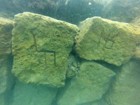
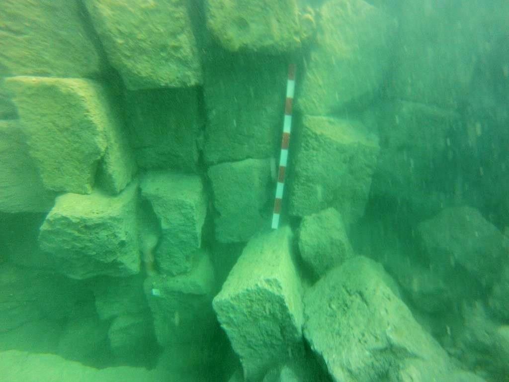
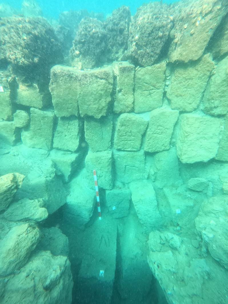
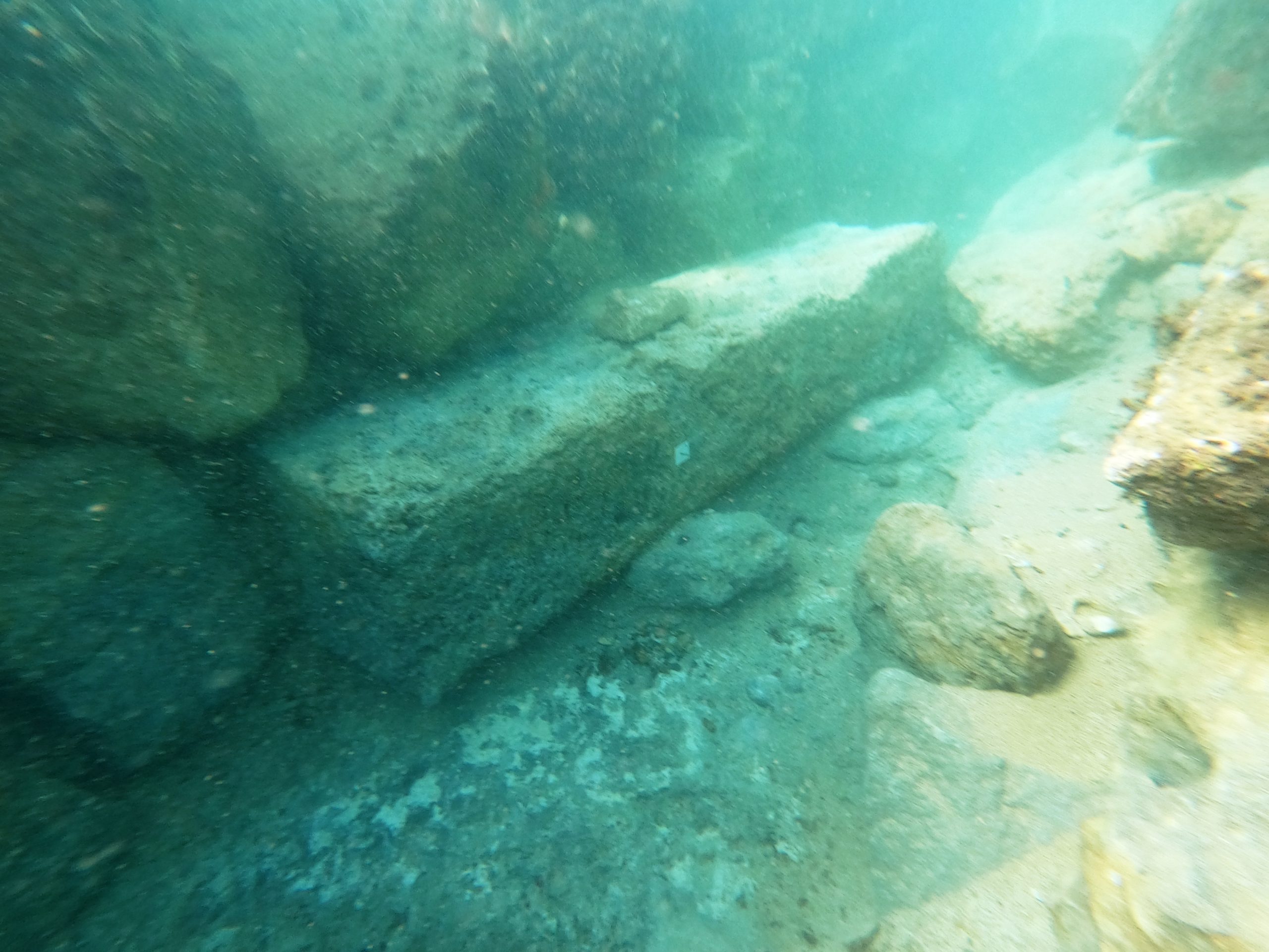
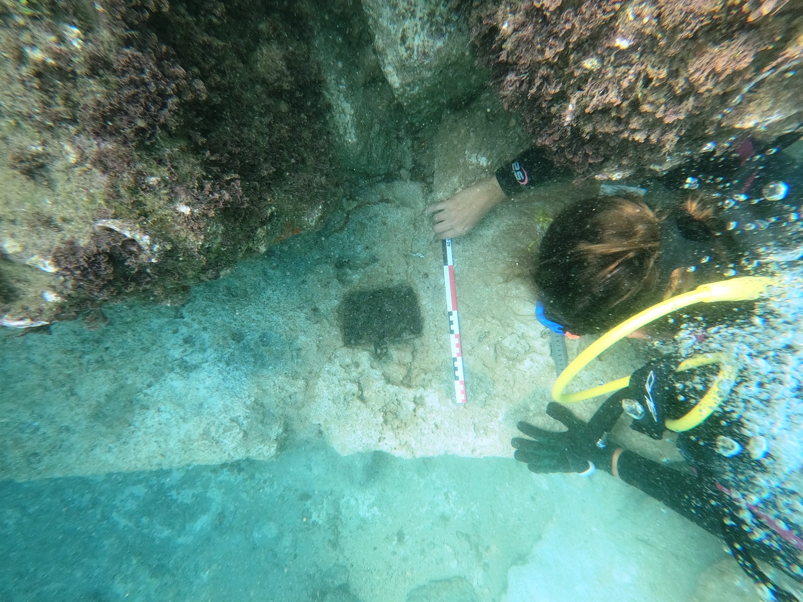
The site is located on the old, submerged breakwater on the northern side of Tyre. Its length was about 80 meters, and its width is about 12.7 meters consisted of large headers laid across. It is remarkable that many quarrying marks have been documented and the last course of the mole structure has been confirmed, measuring over 4.5 meters of the wall’s façade. Scattered stones were present in the inside area of the mole as well as the outside area where the most recent excavation was conducted, mixed in bulk with sediment over the entire area of the excavation on various levels.
The scattered stones, which are essentially of the same nature as the “Ramleh” blocks that made up the mole, come in different shapes and sizes; some are cut well and even bear marks. Ceramics study in the inner lower levels of the excavation trenches determined that the deep low levels are intact. The ceramics date from the mid-7th century BC to the mid-8th century BC. Whereas the outside trench ceramics are generally mixed compared to the inner area, however, the lowest levels show consistency with the iron age 7-8 century BC. We have identified 7 courses comprising the mole so far.
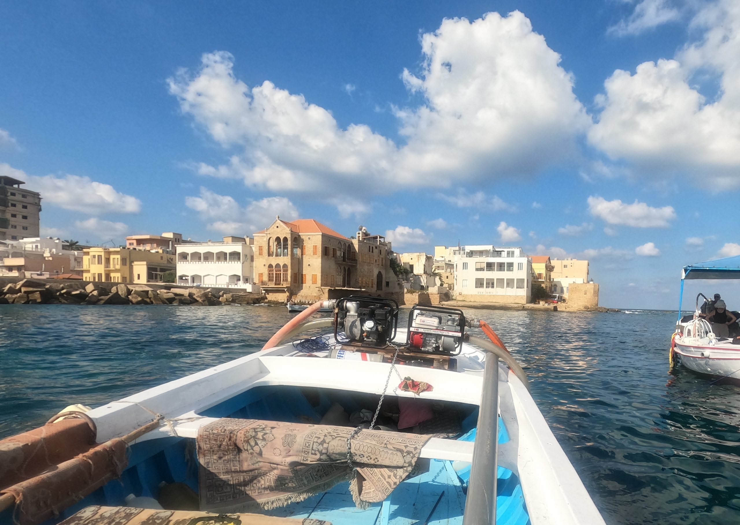
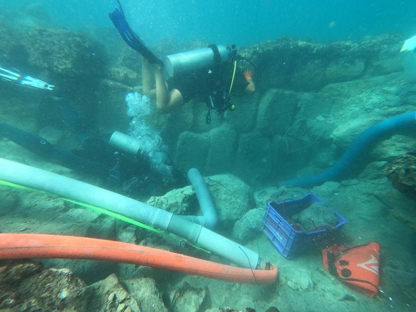
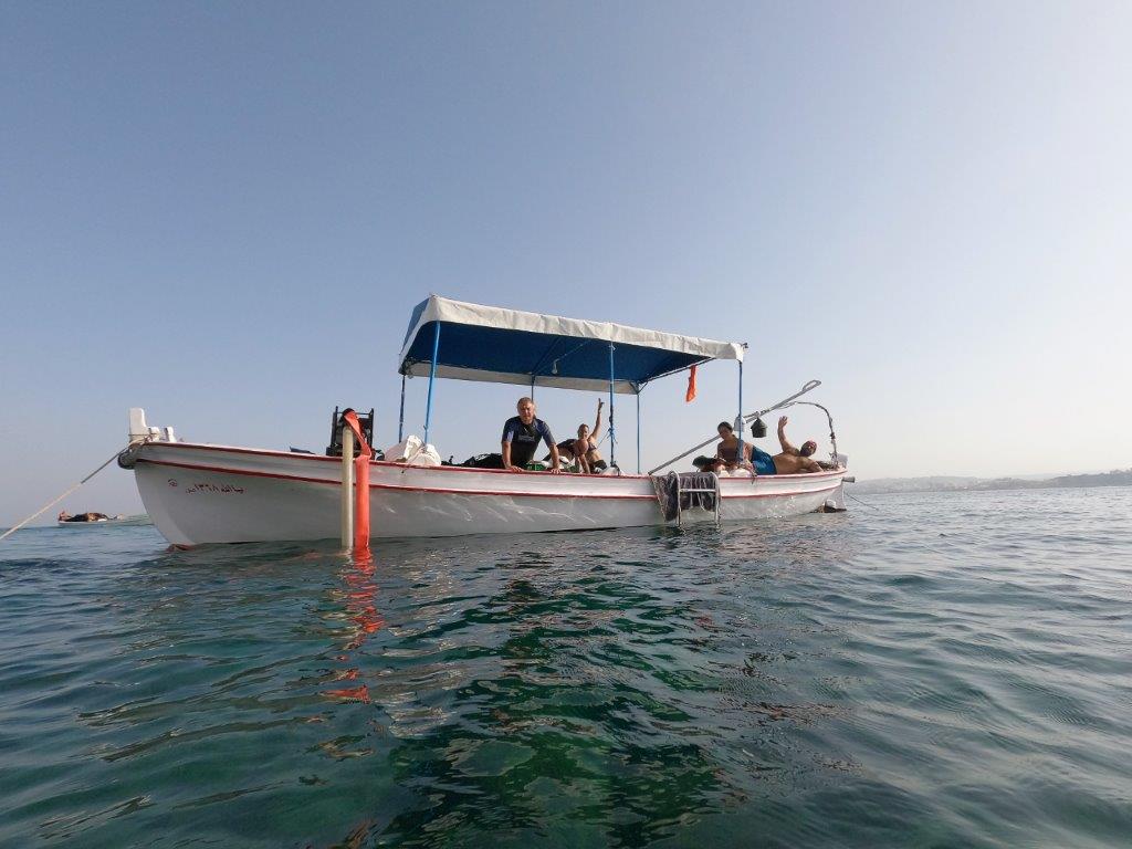
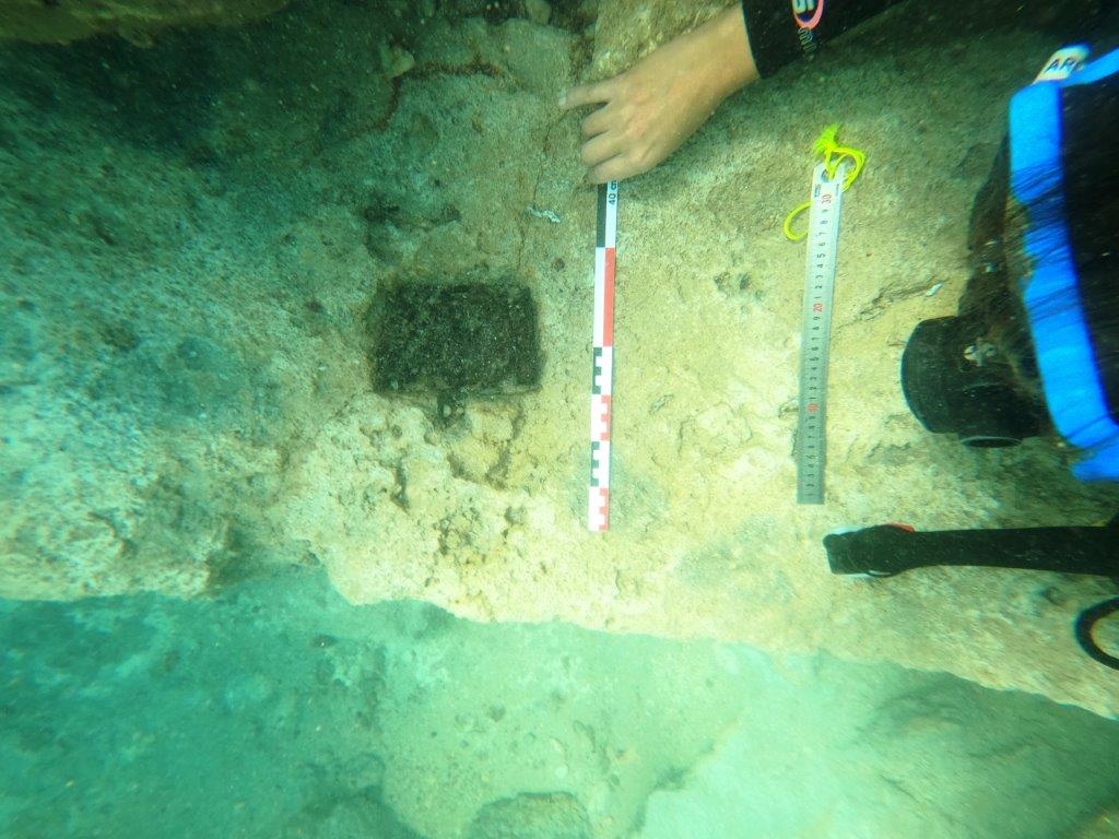
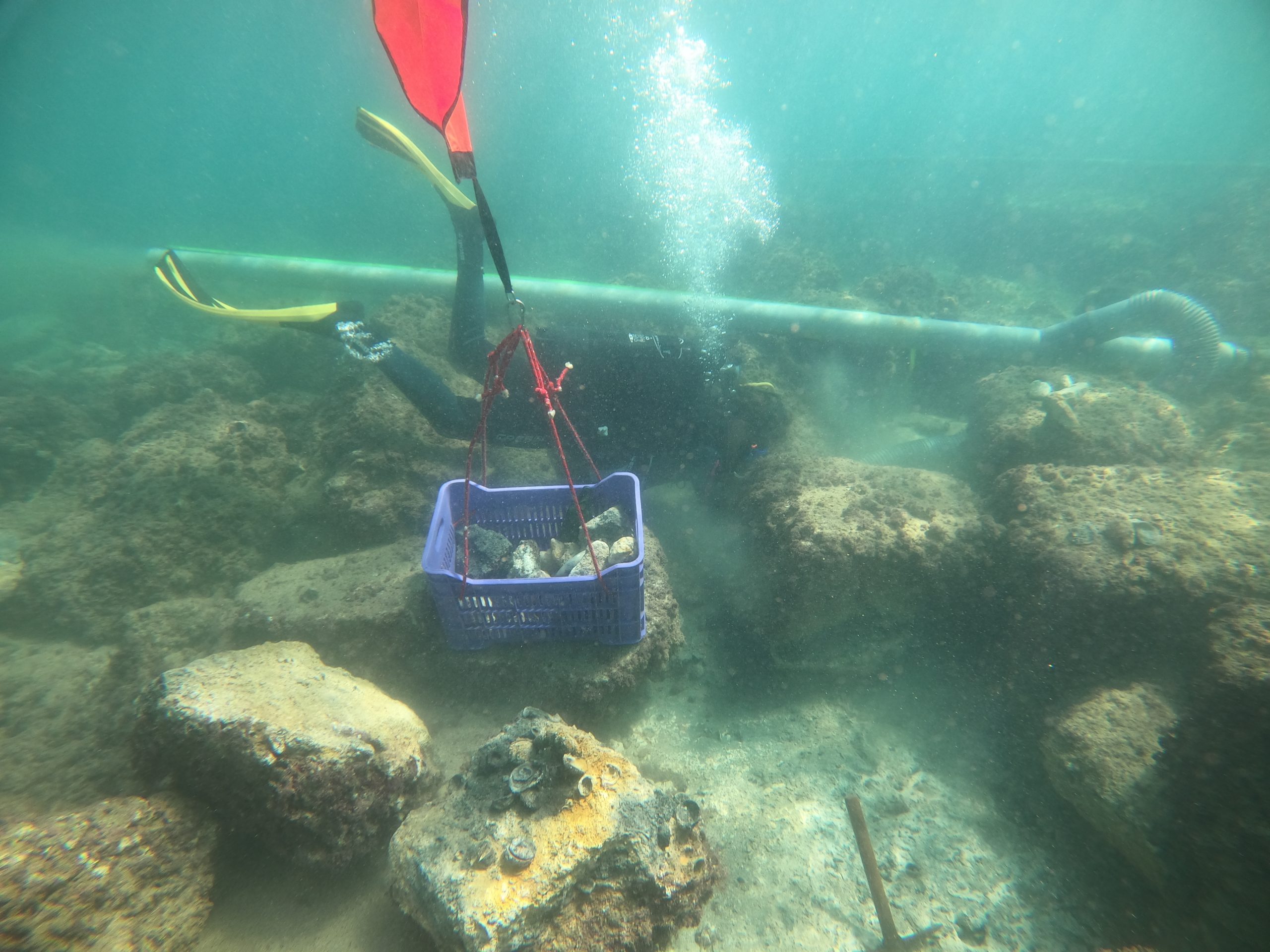
The 2021 field season consisted of ten divers including professional maritime archaeologists, and two students. During the 2021 season, the team worked near the Pierhead, the extreme eastern point of the mole. A trench just over 4 m thick, and about 6 m wide was excavated into the base foundation. The work took place from 18th September to 17th October, 2021. The project allowed mainly Lebanese and some French students to train and familiarize themselves with the use of the underwater dredging machine, lifting bags, and other equipment used for measuring and surveying the site. The objectives of the 2021 field season have been completed: new quarrying marks and the foundation course of the wall have been identified. The team also conducted three test pits to investigate a large structure found adjacent to the present mole, though no direct relationship to the mole can be identified so far. Currently, the team are aiming to strategize operations to perceive the environment of the mole. Therefore, a virtual grid was created to plan excavations and test pits in various spots around the mole, in order to have a better understanding of the history of the ancient port of Tyre.
The team are planning to continue work at the site from 2022 to 2024. The site is still yielding more aspects and structures that are unique in the region and that require more investigation. The entire area of the north Harbour is extremely rich in archaeological aspects and artefacts where answering some scientific questions resulted in more questions creating exceptional data of information that could be utilized as a source for studies in many regions.
Throughout the course of at least three field seasons the team aim to achieve the following objectives that could help in answering some scientific questions, and continue building technical data:
• Finding the link between the Mole structure and the land,
• Studying the submerged shoreline area and,
• Investigate the opposite area east of the existing Mole structure.
2022 Project Update
|
The following summarizes the 2022 field season of the archaeological excavation and investigations of the Ancient North Harbour at Tyre. Recently, the results of previous seasons including the 2018, 2019 and 2021 were published in Bulletin d’archéologie et d’architecture libanaises (BAAL). This project is a joint project between the La Direction Générale des Antiquités -Lebanon DGA, and the University of Perpignan – CRESEM/ARESMAR – France and the team comprised both Lebanese and French members including students from both countries. The site is located on the old, submerged breakwater on the northern side of Tyre. Its length was about 80 meters, and its width is about 12.7 meters consisted of large headers laid across. Over the years, the excavation team has dug various archaeological trenches. During the 2022 season, our team focussed the worked at the western section of the mole. 3 trenches were excavated, 1 trench on each wall and a third trench was excavated in the area between both. The work took place from September 18 to October 10, 2022. The operations consisted of underwater surveys and excavations, which were carried out following the principles of the scientific excavation and documentation of archaeological sites. They are conducted using a combination of invasive techniques including excavation, sampling diver surveys, and photogrammetry. The main objectives of the operations were to document and characterize the marine environment, to assess the current state of the structures that identifies underwater archaeological features, and to carry out excavations to be able to obtain information about the use and function of the structures. The 2022 field season focused on the western limits of both walls of the mole and the 8 m void area between them, and to investigate the structural relation between the submerged mole and the Al Moubarkeh tower. During the fieldwork season, two aligned trenches were positioned parallel to each other on both walls: trench S1 on the north side of the north wall, and trench S2 on the north side of the and south wall. A third trench identified as S3 was laid perpendicular between the first two in the middle (void) area. The results were very interesting and unexpected, new marks have been found on the stones and the investigations have made it possible to better understand the layout of the structure. |
Available Reports
Archaeological Survey of the Phoenician Harbour at Tyre – I.Noureddine & A.Mior – 2013
Archaeological Excavations at the Northern Ancient Harbor at Tyre – I.Noureddine & J.Sicre – 2018
Archaeological Excavations at the Northern Ancient Harbor at Tyre – I.Noureddine & J.Sicre – 2019
Jean-Phillipe Goiran
The 2020 project aims at locating the southern port of Tyre, known as the “Egyptian port”. The city of Tyre is thought to have possessed two harbour basins. Most researchers concur on the location of its northern, “Sidonian” port, precursor of the modern “Old Port” of Tyre, but slightly more extensive than it. The location of the Egyptian harbor, on the other hand, is still a matter of debate. It is mentioned by Diodorus Siculus, Quintus Curtius Rufus, and Arrian, when describing Alexander the Great’s siege of Tyre in the 4th Century BC. According to Arrian’s 2nd Century AD compilation of reports written at the time of the siege, the entrance of the “Egyptian port” is a neoria, meaning it is protected by a chain, and hosts hangars for triremes. These characteristics lead us to believe that it was a Phoenician military port. Towards the end of the siege Alexander’s fleet would have forced the entrance of the port and sunk the Tyrian ships kept inside. In the 1st Century AD, Strabo reports that Tyre possessed two harbours, one protected, and the other opened, this later being called the Egyptian one (16,2,23). Thus, according to these descriptions, the Egyptian Port would be first a military harbour (during Phoenician times), protected and inserted in the city’s defensive walls, but by Roman times, it would have become an open port.
We aim at understanding whether this change in port affectation was motivated by the evolution of the coastline. During Phoenician times, Tyre was initially settled on an island, which by Roman times, had become a peninsula, tied to the continent by a sandy land bridge, known as a tombolo. The land bridge accrues from the accumulation of sediments along a causeway built by Alexander the Great between the island of Tyre and the levantine coastline. The objective of this project is to, (1) refine the location and evolution of the ancient coastline, (2) constrain the elevation of the ancient sea level, and (3) decipher the evolution of the Egyptian Port.”
The team would like to acknowledge the support of the DGA, CNRS and the Mission Française de Tyr (MFT).
Ali Badawi
Phase 1 – Marine geophysics
The team are planning to undertake further marine geophysical remote sensing surveys in the inshore region of the peninsula of Tyre. The Tyre Peninsula is of considerable archaeological importance. The area is subject to potential development and simultaneously UNESCO requires the preservation of this historic maritime landscape, and as such both demand immediate attention to document and preserve the archaeology of Tyre. Over the coming years it would be desirable to map out a phased maritime archaeological landscape project that incorporates the entire Tyre district and addresses the nature and changing face of this important port town over time. Further documentation will be produced to outline the next phases of this important project. The rationale for Phase 1 survey work at Tyre is to undertake a comprehensive marine geophysical remote sensing survey (side scan sonar, bathymetry and sub bottom) of the area immediately offshore of the Tyre Peninsula and in the bays to the north and south of the headland. The proposed area to be covered will be up to 2 km square, but with intensive sub bottom profiler survey in approximately 1 km square. The survey will compliment the offshore survey that the CNRS undertook a few years ago (we have yet to ascertain what subsequent survey work the CNRS conducted in the shallower waters in the region but will do so before going ahead with this project to be sure we are not duplicating effort). The objective is to map the seafloor and identify any anomalies both physical and cultural that can be identified, in order to inform planned diver survey to be conducted in the region. The marine geophysical team (yet to be identified) will consist of three foreign experts, a local archaeologist and a student, with a suite of equipment including side scan sonar, bathymetry and most importantly, a sub bottom profiler. The latter piece of equipment is particularly critical, as it will enable the archaeologists to look beneath the seabed and identify any buried material perhaps also including the shipwreck that Honor identified in the southern harbour.
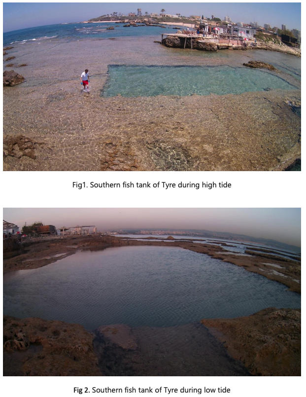
Ancient sea-level reconstruction inferred by GIS database of fish tanks along the Tyre coastline of Lebanon
Jean-Philippe Goiran , Stoil Chapkanski and Emmanuelle Regagnon
Centre National de la Recherche Scientifique (CNRS), Archéorient, UMR 5133, Maison de l’Orient et de la Méditerranée, Université de Lyon, 7 rue Raulin, 69007 Lyon, France
Below is an abstract from the 2018-2019 Post-Fieldwork Report, the full report will be available soon.
“Circum-Mediterranean” human occupation during Antiquity has left a rich heritage of archaeological structures along the coastline. Tight relationships between sea-level and coastal structures elevation at the time of construction (especially fish tanks) allow accurate tracking of sea-level variations through time. Building upon field work conducted by PierreLouis Gatier and Jean-Baptiste Yon (Mission archéologique de Tyr, HiSoMA, Maison de l’Orient et de La Méditerranée, CNRS-Université de Lyon) and founded by the Honor Frost Foundation, this study aims to reevaluate the former relative sea-level rise (RSL), based on the archaeological coastal structures along the coastline near Tyre. To do this, a multidisciplinary approach involving archaeological, chronological and topographic investigations was performed. The expected results should provide new estimates of the former RSL along the Tyre coastline where the absence of accurate indicators does not allow the establishment of a precise sea-level curve. Provision of a new and reliable estimation of ancient sea-level will have a major impact on the scientific community, permitting new archaeological interpretations as well as a better understanding of landscape history and anthropogenic impact on coastal shaping. The new data can contribute to a broader reassessment of the archaeology of the region permitting to determine new steps for maritime archaeological excavations along the coastline of Tyre. Beyond the scientific purposes, this project will contribute to the valorisation of Lebanese cultural and historical heritage.
Project coordinator: Jean-Philippe Goiran
Associated research organizations and institutions: Honor Frost Foundation, French National Center of Scientific Research, University of Lyon, Lebanese University and French Institute for the Near East. Project funded by: the Honor Frost Foundation
The team would also like to acknowledge the DGA for their support.
A paper on the project is now in press, the reference is – Jean-Philippe GOIRAN, Stoil CHAPKANSKI, Emmanuelle RÉGAGNON, Kosmas PAVLOPOULOS, Eric FOUACHE, 2019, “Preliminary results of rock-cut fish tanks evidence along the Tyre coast of Lebanon. Implication for ancient sea-level reconstruction”, BAAL (Bulletin d’Archéologie et d’Architecture Libanaises), n°19, pp. 259–266
Lebanese-Italian Archaeological Project in the Region of Tyre
Ali Badawi, May Haider, Marta D’Andrea
The Lebanese-Italian Archaeological Project in the Region of Tyre is a collaboration between the Sapienza University of Rome, the Directorate General of Antiquities of Lebanon (DGA) of Tyre and the Lebanese University on archaeological research and cultural heritage protection and promotion.
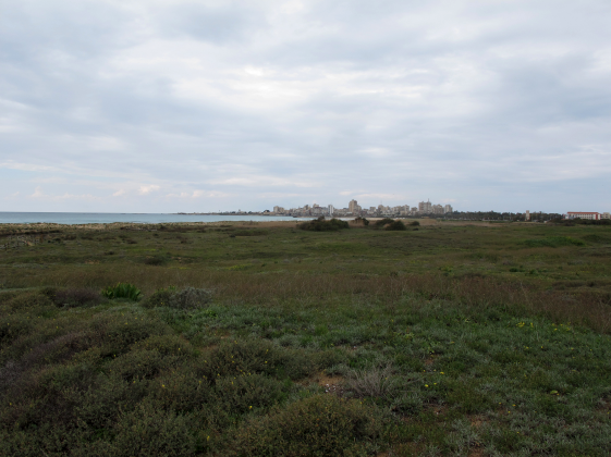
The project pivots around Tell Mashouk and the regions of Shawakeer and Ras el-Ain, a few kilometres away from the Old City of Tyre, respectively to the east and south of it. These regions are traditionally connected with the scholarly quest for the earliest settlement of Tyre on the mainland but have been little explored in the past. Therefore, the project has set the ultimate objective to investigate patterns of human occupation, land and sea use, and water management in this unique maritime cultural landscape in the environs of Tyre.
To that end, the project’s integrated research approach includes remote-sensing analysis, maritime survey, pedestrian survey, and targeted sondages, as well as the thorough study of the collected archaeological materials from different periods.
In September 2021 the project accomplished its second field season, concentrating fieldwork at Shawakeer and Ras el-Ain, corresponding to the environs of Tell Rashidiyeh. Through an intensive and extensive archaeological survey, trial sondages, and the macro-sorting of thousands of collected artefacts, this campaign provided evidence that this important maritime landscape was settled from early prehistory through modern times. This season confirmed the impression that the Iron Age and the Roman-Byzantine periods were important occupational phases and that there is also quite a substantial human presence in the Medieval/Islamic Period. It also produced, for the first time in these areas, considerable evidence of a very early human presence going back to the Palaeolithic and spanning the Neolithic, the Chalcolithic, and the Bronze Age.
A major discovery of the 2021 season was the identification of an Early Bronze Age occupation that stands out as the most substantial evidence of this period discovered so far on the mainland in the environs of Tyre. Another key result was the identification of a widespread area of specialized flint knapping seemingly dating to the Chalcolithic/Early Bronze Age period. The latter discovery suggests the existence of a large lithic workshop in the surroundings of Tell Rashidiyeh, shedding light on economic activities carried out around the ancient site.
Future steps in 2022 will include a study season for advanced historical interpretation, a new season of pedestrian surveys and sondages, and a geomorphological study. It is hoped that this will contribute to a better understanding of this crucial maritime landscape and of how ancient communities thrived there making the most of local water resources.
Check out the project Facebook page here
Led by the MarEA team – Crystal Safadi, Colin Breen and Lucy Blue
The site of Tyre located on the southern coast of modern-day Lebanon, has witnessed significant anthropogenic and environmental alteration to its landscape. With its long history of occupation ever since the fourth millennium BC, Tyre holds a large assemblage of archaeological remains and features, some of which lie submerged. International and local research projects have enabled a better documentation and understanding of its archaeology and coastal landscape. While these efforts continue, their results have been scattered in disparate sources and datasets.
Given Tyre’s intricate history and environment, consideration of its diachronic relationship with the sea necessitates a holistic approach, one that unites disparate datasets and project results as an initial stage towards a broader contextualisation of Tyre’s maritime role.
This project aims to address this initial stage by consolidating results from various archaeological, maritime and geoarchaeological projects in one geo-spatial platform, which will establish a basis for future research and management strategies. This includes the protection of Tyre’s submerged remains and their integration under management initiatives for the natural maritime environment, as well as bridging research agendas and fostering interdisciplinary research through active engagement in a regional workshop.


