
Desk Based Assessment of Maritime Archaeology in Lebanon – 2015
Dr Lucy Semaan

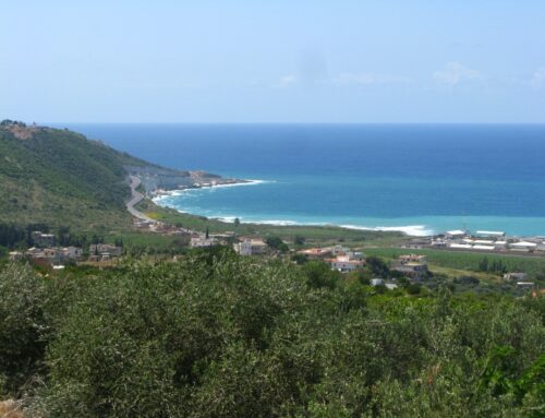
Map of Lebanon sites and rivers (Safadi)
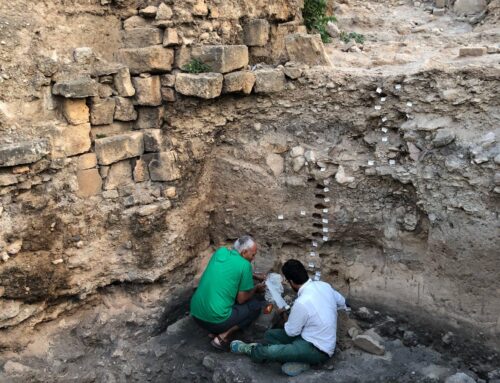
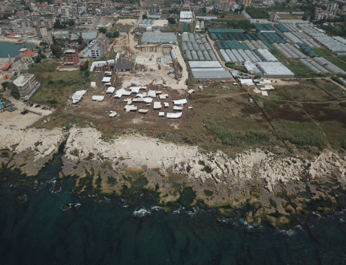
Honor Frost pioneered scientific underwater archaeology in Lebanon as early as the 1950s. Subsequent to the end of the civil war in 1990, and under the guidance of Mrs Frost the field developed and gained the interest of local and international archaeologists. Several underwater sites started to be surveyed and excavated, while the investigation of coastal sites turned towards their intrinsic connection to the sea. Building upon the earlier work of Honor Frost, maritime archaeological projects focused on some of the important harbours in antiquity such as Byblos, Sidon and Tyre. Meanwhile, other areas extending along the Lebanese coast, as well as offshore, began to take shape such as Anfeh, Beirut, and Jiyeh.
However, what is lacking is a national Desk-based Assessment (DBA) which would provide the proper scientific context in which to further develop the field in Lebanon. Such a giant task has been generously supported and funded by the Honor Frost Foundation. The DBA would establish an account of the ongoing research projects at sites in Lebanon, as well as sites with visible archaeological potential. Such an inventory would constitute a base-line of knowledge and informed assessment on which we can base further strategies. In doing so, targeted areas would be identified for further surveying and prioritizing in relation to their preservation status, that is, if these sites are directly affected by urban and offshore development and other threats.
This DBA would essentially aim at gauging the maritime archaeological potential of sites in Lebanon in order to study them, protect them, think of management strategies and raise awareness about the maritime cultural heritage of the country. The DBA includes research in published archaeological books and articles; unpublished theses and dissertations; DGA unpublished reports; archaeological databases; historical documents; cartographic and pictorial documents; aerial photographs; geotechnical information; as well as informal communication with fishermen and sports divers.
