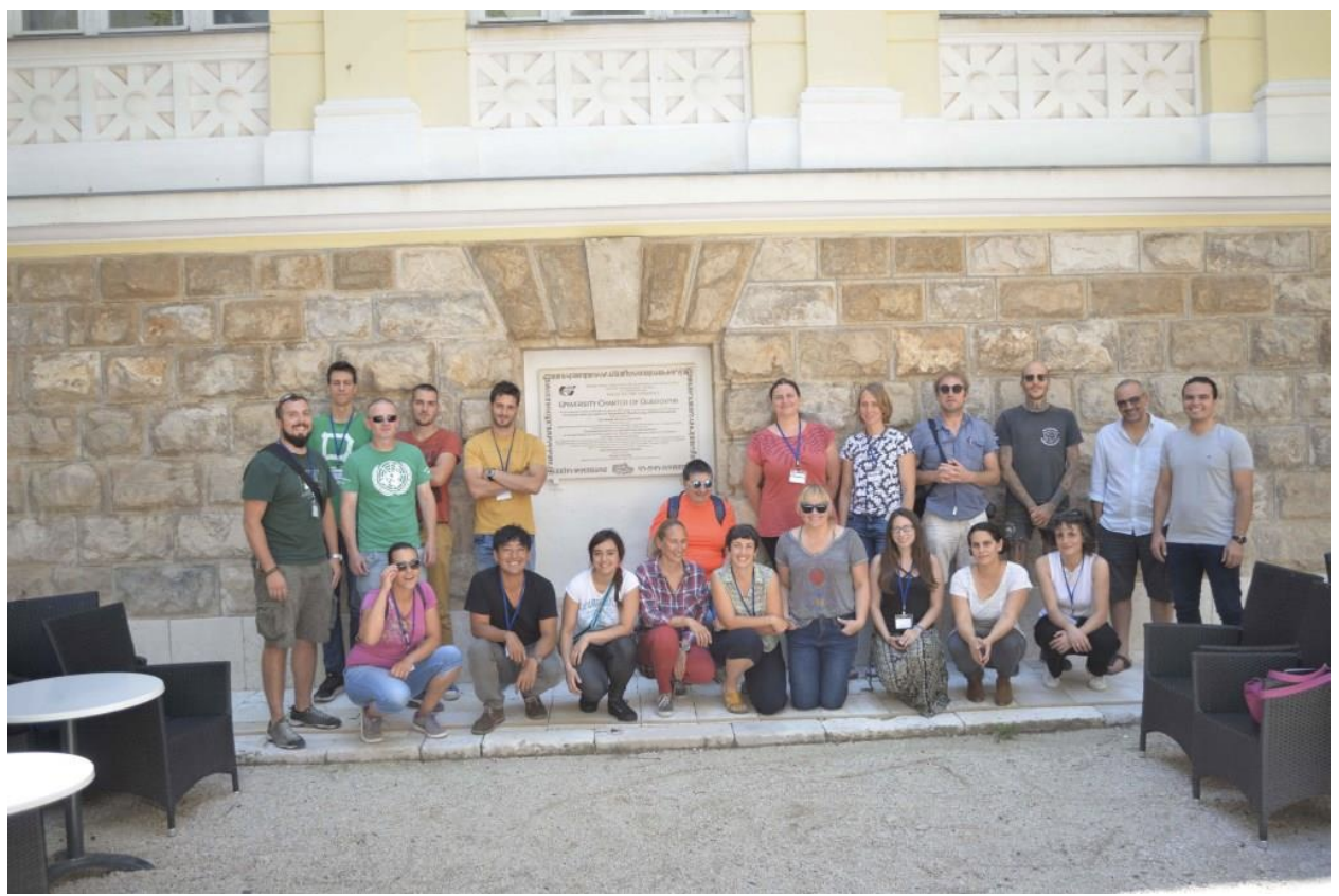
In June 2018 the Foundation awarded a bursary to Mohamed Salama from Egypt to attend the workshop ‘Photogrammetry in Underwater Archaeology’ by ARS NAUTICA, in Croatia. Here is a report from Mohamed on the event:
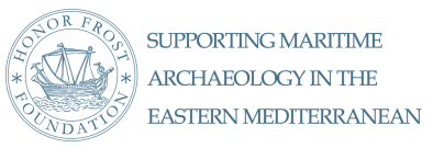
The workshop was held at the Inter-University Centre in Dubrovnik for 6 days, between 17– 24 June 2018, in Croatia, to conduct photometric three-dimensional survey training, with a total of 19 international participants.This workshop was an ideal opportunity to learn and practice new technical skills in pre-scanning and pre-data acquisition and included the following:
Day 1: a general overview on the historical background of Photogrammetry as a concept, and the early attempts to develop this technique for archaeological recording and documentation.
Day 2: explanation of AGIsoft photoscan software’s interface which was used during the workshop, and reviewing the workflow in detail, also explaining the control factors for each project to generate 3D models for different cases, for example, objects, landscapes, and underwater sites. In addition to practical training on how to create 3D models for artifacts using any digital camera and the best practice to control the light source and background, so the model will be generated in less time and with better results.
Day 3: training on scaling the model using scale bars, and cards, and also, taking measurements from 3D models with a very low calculation error .001 mm. Moreover, how to create 3D models from video, this is in case we are recording the archaeological sites under certain conditions, for example, deep sites underwater, or sites that have bad sea conditions, in this case photo frames would be extracted from video in sequence, then we use these frame to generate 3D models with the same workflow as explained before.
Day 4: the orientation of this day was for preparing the site or objects to be ready for recording by photogrammetry, also how to create local coordinate systems in order to tie the model to this system, moreover, processing acquired data adapted with the new local coordinate system, then preparing the model to be shared on a webpage.
Day 5: preparing the camera setting for recording sites underwater, and how to control these settings, and also flash source to achieve the best quality for captured photos. Moreover recording a simulated underwater archaeological site, and processing data with local coordinate systems using Rhino software.
Day 6: the last day was very important for me to learn new skills that are valuable for archaeological documentation, and extracting information from 3D models to explain and interpret the cultural heritage, such as generating orthophotos, generating digital elevation models (DEM) , generating a sketch- like drawing from orthophotos, also generating section profiles in Rhino software.
Part of the agreement with the Foundation to support participation in this workshop was the sharing of knowledge and new acquired techniques and skills with colleagues, this was achieved through a number of lectures given during the last semester for Masters and diploma students in our Centre in Alexandria, also we organized a practical training session for the new students and they practiced photography and data acquisition in all conditions that the archeological finds could be found, they also processed the acquired data to generate 3D models. Thus a number of them were able to participate effectively in scanning and modeling the artifacts that were found in Marsa Bagoush last season in our survey project. Resulting in a large number of well-trained team members in Alexandria centre for maritime archaeology, that enhances the capacity building in this field in a better way.